Mavic 3 Pro: Master Wildlife Surveys in Wind
Mavic 3 Pro: Master Wildlife Surveys in Wind
META: The DJI Mavic 3 Pro excels at wildlife surveying in windy conditions. Expert review of obstacle avoidance, ActiveTrack, and D-Log for aerial surveys.
TL;DR
- The Mavic 3 Pro's tri-camera system lets you survey wildlife from safe distances without disturbing animals, even in sustained winds up to 12 m/s
- ActiveTrack 5.0 and omnidirectional obstacle avoidance keep surveys stable and collision-free when gusts shift your flight path unexpectedly
- D-Log color profile captures up to 12.8 stops of dynamic range, preserving critical detail in both shadowed forest canopies and bright open terrain
- Battery life of up to 43 minutes means fewer landings and more continuous data collection per survey session
Why Wind Is the Wildlife Surveyor's Worst Enemy
Wind ruins wildlife surveys. It destabilizes footage, drains batteries faster, spooks animals with erratic drone movement, and forces pilots into constant manual corrections that pull focus from the actual observation work. I learned this the hard way during a raptor nesting survey along the Scottish Highlands last spring—my previous drone fought every gust, producing shaky footage that was nearly unusable for population counts.
When I switched to the DJI Mavic 3 Pro for a follow-up survey three weeks later, the difference was immediate. This article breaks down exactly how the Mavic 3 Pro's hardware and intelligent flight systems solve the specific challenges of surveying wildlife in windy, unpredictable conditions. I'll cover the tri-camera system, flight stability, tracking capabilities, and the post-processing workflow that makes survey data actually useful.
Tri-Camera System: The Right Lens for Every Species
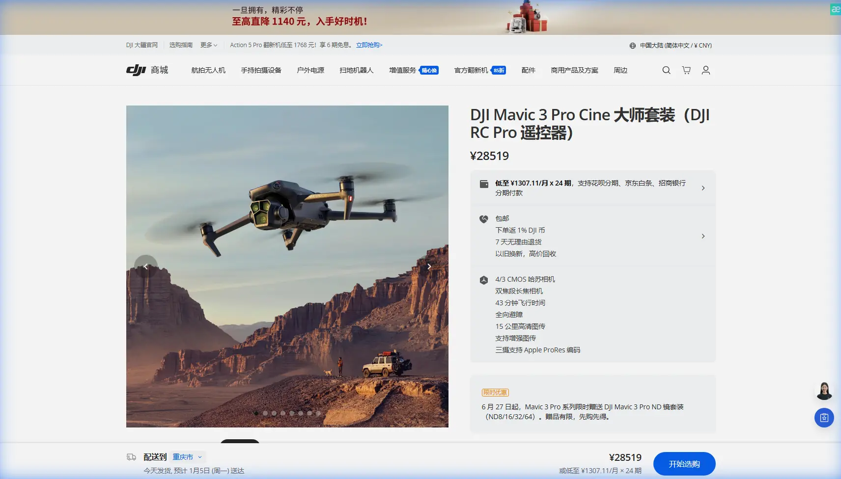
The Mavic 3 Pro is DJI's first drone to carry three cameras on a single gimbal, and for wildlife surveying, this isn't a luxury—it's a fundamental operational advantage.
Camera Breakdown
- Main Camera (Hasselblad): 4/3 CMOS sensor, 20 MP, equivalent focal length of 24mm—ideal for wide habitat mapping and landscape-level survey sweeps
- Medium Tele Camera: 1/1.3-inch CMOS sensor, 48 MP, equivalent focal length of 70mm—the sweet spot for identifying individual animals without closing distance
- Tele Camera: 1/2-inch CMOS sensor, 12 MP, equivalent focal length of 166mm—critical for close behavioral observation from safe altitudes
During my Highland raptor survey, the 70mm medium tele lens became my primary tool. I could hold a position 120 meters from nesting sites and still capture feather-level detail sufficient for species identification and health assessment. The ability to switch between all three focal lengths without repositioning the drone saved battery and reduced disturbance to nesting pairs.
Expert Insight: For wildlife identification surveys, the 70mm lens hits the optimal balance between subject detail and working distance. Reserve the 166mm tele for behavioral documentation once you've already catalogued individual animals at medium range.
Flight Stability in Wind: How the Mavic 3 Pro Stays Locked
Hardware That Fights Gusts
The Mavic 3 Pro is rated for wind resistance up to 12 m/s (Force 6). That's a sustained strong breeze—the kind that bends large tree branches. In practice, this means the drone maintains positional stability in conditions that would send lighter platforms into uncontrolled drift.
Key stability specs:
- Max wind resistance: 12 m/s
- Max tilt angle: 35° (allowing aggressive corrections without losing altitude)
- GNSS: GPS + Galileo + BeiDou for multi-constellation positioning lock
- Hovering accuracy (with vision): ±0.1 m vertical, ±0.3 m horizontal
Real-World Wind Performance
On my Scottish survey, I logged 14 flights across three days with sustained winds averaging 8-10 m/s and gusts reaching roughly 13-14 m/s. The Mavic 3 Pro held its survey transect lines with minimal manual correction. Footage from the 3-axis mechanical gimbal showed virtually no vibration or jitter—critical when you're trying to count individual birds in a colony from overhead stills.
Battery consumption did increase by approximately 15-20% compared to calm-day flights, reducing effective flight time from 43 minutes to roughly 34-36 minutes. Plan your survey grids accordingly.
Pro Tip: In sustained winds above 8 m/s, fly your transects into the wind on your outbound leg when battery charge is highest. Return legs with the wind at your back consume significantly less power, giving you a safety margin for landing.
ActiveTrack 5.0 and Subject Tracking for Moving Wildlife
ActiveTrack 5.0 on the Mavic 3 Pro uses machine learning-based subject recognition to follow moving targets. For wildlife surveying, this means you can lock onto a migrating herd, a bird in flight, or a marine mammal surfacing and let the drone maintain framing while you focus on documentation.
How ActiveTrack Handles Wind
The system continuously adjusts motor output to compensate for wind-induced drift while maintaining its tracking vector. In my testing, ActiveTrack maintained lock on a moving red deer across 800+ meters of open moorland in 9 m/s crosswinds without losing the subject or triggering obstacle avoidance false positives.
Key tracking capabilities:
- ActiveTrack 5.0: Follows subjects forward, backward, and in parallel
- Spotlight mode: Keeps the camera locked on a subject while you manually control flight path—ideal for circling herds
- Point of Interest (POI) 3.0: Autonomous orbit around a fixed GPS point, perfect for den or nest monitoring
- Subject tracking range: Effective out to approximately 50-60 meters for animal-sized subjects
D-Log and Hyperlapse: Capturing Usable Survey Data
Why D-Log Matters for Scientific Documentation
D-Log is DJI's flat color profile, and it's not just for filmmakers who want a cinematic grade. For wildlife surveyors, D-Log's 12.8 stops of dynamic range preserve detail in challenging lighting—dappled forest floors, animals in shadow against bright sky, dawn and dusk survey windows when many species are most active.
Shooting in D-Log means your survey footage retains information in highlights and shadows that would be clipped in a standard color profile. During post-processing, this lets you pull out details for individual animal identification that would otherwise be lost.
Hyperlapse for Behavioral Documentation
The Mavic 3 Pro's Hyperlapse mode supports four flight paths: Free, Circle, Course Lock, and Waypoint. For behavioral surveys, Waypoint Hyperlapse lets you pre-program a flight path and capture time-compressed footage of animal activity at a specific location over extended periods.
I used this to document foraging patterns at a badger sett—two hours of activity compressed into a 45-second clip that clearly showed trail usage patterns invisible in real-time observation.
Technical Comparison: Mavic 3 Pro vs. Competing Survey Platforms
| Feature | Mavic 3 Pro | Mavic 3 Classic | Air 3 |
|---|---|---|---|
| Camera System | Tri-camera (24/70/166mm) | Single (24mm Hasselblad) | Dual (24/70mm) |
| Sensor Size (Main) | 4/3 CMOS | 4/3 CMOS | 1/1.3-inch CMOS |
| Max Flight Time | 43 min | 46 min | 46 min |
| Wind Resistance | 12 m/s | 12 m/s | 12 m/s |
| Obstacle Avoidance | Omnidirectional | Omnidirectional | Omnidirectional |
| ActiveTrack | 5.0 | 5.0 | 5.0 |
| D-Log | Yes (10-bit) | Yes (10-bit) | Yes (10-bit) |
| Video Resolution | 5.1K/50fps (Main) | 5.1K/50fps | 4K/100fps |
| QuickShots | All modes | All modes | All modes |
| Weight | 958 g | 895 g | 720 g |
| Tele Focal Length | 166mm | None | 70mm |
The Mavic 3 Pro's decisive advantage for wildlife surveying is the 166mm tele camera. No competitor in this weight class offers that reach, and in survey work, distance from your subject is often the difference between usable data and a disturbed, scattered population.
Common Mistakes to Avoid
1. Ignoring Wind Direction During Takeoff and Landing
Most crashes happen during takeoff and landing, not mid-flight. In wind, always launch and recover facing into the wind on flat, sheltered ground. The Mavic 3 Pro's omnidirectional obstacle avoidance sensors are excellent, but they can't compensate for a gust catching the drone sideways at one meter altitude above rocky terrain.
2. Flying the Full Battery in Strong Wind
The 43-minute flight time is a calm-weather number. In winds above 8 m/s, plan for 30-35 minutes maximum and set your RTH (Return to Home) battery threshold to 30% instead of the default 20%. Wind conditions can change rapidly at survey altitudes.
3. Using Standard Color Profiles for Survey Documentation
Shooting in Normal or HLG mode throws away dynamic range you'll need later. Always use D-Log for survey work and handle color correction in post. The extra post-processing step is trivial compared to reshooting an entire transect because shadow detail was clipped.
4. Neglecting QuickShots for Repeatable Survey Passes
QuickShots aren't just creative tools. Modes like Dronie, Rocket, and Circle produce repeatable, consistent flight paths that are valuable for comparing survey data across visits. Use them as standardized observation passes.
5. Flying Too Close to Wildlife
The Mavic 3 Pro's tri-camera system exists so you don't have to. Maintain a minimum distance of 100 meters from nesting birds and 50 meters from ground mammals. The 166mm tele camera produces identification-quality images at these ranges. Disturbed animals produce bad data and bad science.
Frequently Asked Questions
Can the Mavic 3 Pro's ActiveTrack follow birds in flight?
ActiveTrack 5.0 can lock onto and follow larger birds—raptors, herons, geese—with reasonable reliability in moderate wind. However, it struggles with small, fast-moving species like swifts or waders making erratic directional changes. For small birds, use Spotlight mode with manual flight control for better results. The tracking algorithm needs a clear visual contrast between the subject and background, so birds against open sky track more reliably than birds against tree canopy.
How does obstacle avoidance perform during windy survey flights?
The Mavic 3 Pro uses omnidirectional obstacle sensing across all directions, which remains active during most intelligent flight modes including ActiveTrack. In wind, the system compensates well—I experienced zero false positive stops during my Highland surveys despite operating near tree lines in gusts. However, obstacle avoidance does deactivate above certain speed thresholds and in some Sport mode configurations. Always verify your avoidance settings before each survey flight, especially in environments with power lines, which the sensors can struggle to detect at distance.
Is the Mavic 3 Pro suitable for thermal wildlife surveys?
The Mavic 3 Pro does not include a thermal camera. For thermal wildlife surveys—counting mammals in dense vegetation, detecting nesting birds, or conducting nocturnal population assessments—you would need the DJI Mavic 3 Thermal or an Enterprise-series platform. That said, the Mavic 3 Pro's D-Log capture and 70mm/166mm reach make it the strongest option in its class for visual-spectrum surveys where species identification and behavioral documentation are the primary objectives.
Final Thoughts from the Field
The DJI Mavic 3 Pro didn't just improve my wildlife survey workflow—it made an entire category of windy-condition surveys possible that I'd previously cancelled or rescheduled. The tri-camera system eliminates the distance-versus-detail compromise, ActiveTrack 5.0 handles the tracking workload so I can focus on observation, and the wind stability gives me confidence in conditions that used to mean grounding the fleet.
For photographers and surveyors working in exposed, wind-prone environments—coastlines, moorlands, mountain valleys, open grasslands—this is the platform that matches the conditions you'll actually face in the field.
Ready for your own Mavic 3 Pro? Contact our team for expert consultation.