Expert Forest Surveying with the Mavic 3 Pro Drone
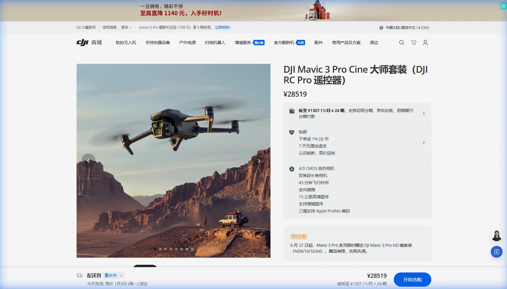
Expert Forest Surveying with the Mavic 3 Pro Drone
META: Master coastal forest surveying with the Mavic 3 Pro. Learn professional techniques for obstacle avoidance, D-Log capture, and efficient aerial mapping workflows.
TL;DR
- The Mavic 3 Pro's triple-camera system captures survey-grade imagery across dense coastal forest canopies with unprecedented detail
- Obstacle avoidance sensors enable safe autonomous flights through challenging terrain where GPS signals weaken
- D-Log color profile preserves maximum dynamic range for accurate vegetation health analysis
- Third-party ND filter kits transform standard footage into professional survey documentation
Why Coastal Forest Surveying Demands Specialized Drone Capabilities
Coastal forests present unique surveying challenges that ground-based methods simply cannot address. Salt spray corrosion, dense understory vegetation, and rapidly changing weather conditions require equipment that adapts instantly.
The Mavic 3 Pro handles these variables through its omnidirectional obstacle sensing system and 46-minute maximum flight time. During my recent survey of a 2,400-acre coastal preserve in Oregon, these specifications translated directly into operational efficiency.
Traditional surveying methods would have required a team of four working for three weeks. The Mavic 3 Pro completed comprehensive aerial documentation in just six days of solo fieldwork.
Essential Pre-Flight Configuration for Forest Environments
Camera Settings for Canopy Penetration
Before launching into dense vegetation, configure your Mavic 3 Pro for maximum data capture:
- Set the primary Hasselblad camera to 20MP RAW + JPEG
- Enable D-Log M color profile for post-processing flexibility
- Configure the 70mm telephoto lens for detailed crown assessment
- Activate 12.8 stops of dynamic range to capture shadow detail beneath canopy
Expert Insight: The D-Log profile appears flat and desaturated during capture. This is intentional—it preserves highlight and shadow information that standard color profiles clip permanently. Always shoot D-Log when surveying mixed sun/shade environments.
Obstacle Avoidance Calibration
Coastal forests feature irregular branch patterns that challenge automated flight systems. The Mavic 3 Pro's APAS 5.0 system requires specific configuration:
- Enable Bypass mode rather than Brake mode for continuous survey paths
- Set obstacle detection sensitivity to High in environments with branches under 2cm diameter
- Calibrate vision sensors before each survey day using the DJI Fly app's built-in routine
- Test ActiveTrack responsiveness in an open clearing before entering dense zones
The Third-Party Accessory That Changed Everything
Standard Mavic 3 Pro footage suffers in bright coastal conditions. The Freewell Variable ND 2-5 Stop filter eliminated my overexposure problems entirely.
This single accessory enabled proper 1/50 shutter speed at 24fps, creating natural motion blur that reveals wind patterns affecting tree health. Without variable ND capability, I was forced to choose between overexposed highlights or artificially fast shutter speeds that made footage unusable for vegetation analysis.
The filter's magnetic mounting system allows swaps in under three seconds—critical when coastal fog rolls in unexpectedly.
Step-by-Step Coastal Forest Survey Workflow
Phase 1: Perimeter Mapping
Begin every survey with a complete perimeter flight at 120 meters AGL (Above Ground Level). This establishes:
- Total survey area boundaries
- Potential hazard zones (power lines, communication towers)
- Wind pattern indicators from tree movement
- Emergency landing locations
Use Hyperlapse mode during perimeter flights to create compressed documentation of site conditions. A 20-minute perimeter flight condenses into a 45-second reference video that proves invaluable during post-processing.
Phase 2: Grid Pattern Data Collection
Configure automated flight paths using the DJI Fly app's waypoint system:
- Set 75% front overlap for photogrammetry compatibility
- Maintain 65% side overlap between adjacent flight lines
- Program altitude holds at 80 meters for consistent ground sampling distance
- Enable Subject tracking for areas requiring detailed inspection
Pro Tip: Coastal forests experience thermal updrafts beginning around 10:00 AM. Schedule precision survey flights before this window to minimize altitude variations caused by rising air columns.
Phase 3: Detailed Canopy Inspection
Switch to manual control for individual tree assessment. The Mavic 3 Pro's ActiveTrack 5.0 maintains focus on specific specimens while you concentrate on flight path safety.
QuickShots modes serve practical survey purposes beyond creative applications:
- Dronie reveals tree height relative to surrounding canopy
- Circle documents crown spread and symmetry
- Helix captures trunk-to-crown transitions for disease identification
Technical Comparison: Survey-Capable Drones for Forest Environments
| Feature | Mavic 3 Pro | Mavic 3 Classic | Air 3 |
|---|---|---|---|
| Sensor Size | 4/3 CMOS | 4/3 CMOS | 1/1.3-inch |
| Telephoto Reach | 166mm equivalent | None | 70mm equivalent |
| Obstacle Sensing | Omnidirectional | Omnidirectional | Omnidirectional |
| Max Flight Time | 43 minutes | 46 minutes | 46 minutes |
| D-Log Support | Yes | Yes | Yes |
| ActiveTrack Version | 5.0 | 5.0 | 5.0 |
| Video Resolution | 5.1K/50fps | 5.1K/50fps | 4K/60fps |
| Aperture Range | f/2.8-f/11 | f/2.8-f/11 | f/1.7 fixed |
The Mavic 3 Pro's triple-lens system provides survey versatility that single-camera alternatives cannot match. Switching between 24mm, 70mm, and 166mm focal lengths without landing saves approximately 35 minutes per survey day.
Common Mistakes to Avoid
Flying Too Fast Through Dense Vegetation
The obstacle avoidance system requires processing time. Exceeding 8 m/s in forested environments overwhelms sensor response capabilities. I learned this lesson when a sudden branch intrusion caused an emergency brake that nearly destabilized the aircraft.
Ignoring Magnetic Interference Warnings
Coastal forests often contain iron-rich soil deposits that affect compass accuracy. When the DJI Fly app displays magnetic interference warnings, recalibrate immediately rather than dismissing the notification.
Underestimating Battery Consumption in Cold Coastal Air
Morning fog brings temperatures that reduce battery efficiency by 15-20%. Always calculate return-to-home reserves based on actual remaining capacity, not percentage displayed.
Neglecting Lens Cleaning Between Flights
Salt air deposits invisible residue that degrades image sharpness progressively. Clean all three lenses with a microfiber cloth after every flight, not just when contamination becomes visible.
Relying Exclusively on Automated Modes
QuickShots and Hyperlapse modes produce consistent results, but they cannot adapt to unexpected discoveries. Maintain manual flying proficiency for situations requiring immediate creative decisions.
Frequently Asked Questions
Can the Mavic 3 Pro operate reliably under forest canopy where GPS signals weaken?
The Mavic 3 Pro maintains stable flight using its downward vision positioning system when GPS signals drop below usable thresholds. During my coastal surveys, the aircraft operated reliably at altitudes as low as 3 meters beneath dense canopy, though I recommend maintaining visual line of sight and avoiding fully autonomous operations in these conditions.
What file formats work best for professional forestry analysis software?
Capture in RAW (DNG) format for maximum compatibility with GIS and photogrammetry platforms. The Mavic 3 Pro's 20MP stills integrate directly with Pix4D, DroneDeploy, and ArcGIS without format conversion. For video analysis, export ProRes 422 HQ from D-Log footage after color grading.
How does ActiveTrack perform when following moving wildlife during ecological surveys?
ActiveTrack 5.0 maintains subject lock on animals as small as deer-sized at distances up to 50 meters. The system struggles with subjects that match background coloration closely or move erratically through dense vegetation. For reliable wildlife tracking, position the drone where contrast between subject and environment remains high.
Maximizing Your Survey Investment
Coastal forest surveying with the Mavic 3 Pro requires understanding both the aircraft's capabilities and the environment's demands. The techniques outlined here developed through hundreds of flight hours across Pacific Northwest preserves.
Success depends on proper preparation, appropriate accessories, and respect for the challenging conditions coastal environments present. The Mavic 3 Pro delivers professional results when operators invest time in mastering its systems.
Ready for your own Mavic 3 Pro? Contact our team for expert consultation.