Mavic 3 Pro Guide: Coastal Highway Monitoring Excellence
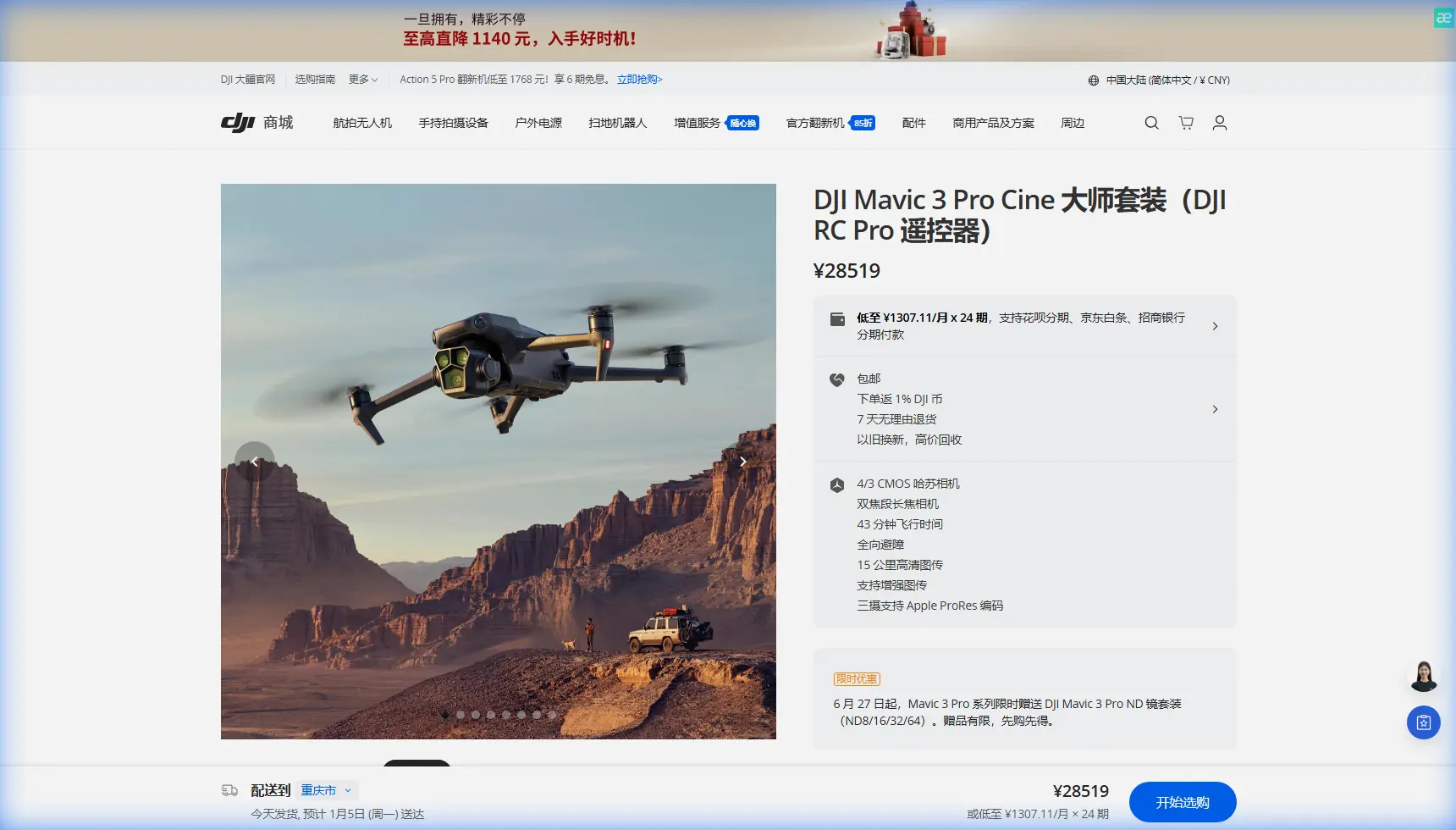
Mavic 3 Pro Guide: Coastal Highway Monitoring Excellence
META: Master coastal highway monitoring with the Mavic 3 Pro. Learn optimal altitudes, camera settings, and techniques for professional infrastructure surveillance.
TL;DR
- Triple-camera system enables simultaneous wide-angle coverage and telephoto detail capture for comprehensive highway assessment
- Optimal coastal highway monitoring altitude ranges from 80-120 meters AGL depending on traffic density and inspection objectives
- 46-minute flight time allows coverage of 15-20 kilometers of highway per battery in favorable conditions
- D-Log color profile preserves critical detail in high-contrast coastal lighting environments
Why Coastal Highway Monitoring Demands Professional-Grade Equipment
Coastal highways present unique surveillance challenges that separate professional drones from consumer toys. Salt spray corrosion, unpredictable wind patterns, and extreme lighting contrasts between ocean glare and shadowed infrastructure require equipment built for demanding conditions.
The Mavic 3 Pro addresses these challenges through its Hasselblad triple-camera array and advanced flight stability systems. Highway monitoring professionals need reliable footage that captures pavement degradation, guardrail integrity, and traffic flow patterns—all while battling coastal wind gusts that can exceed 38 km/h.
This guide breaks down exactly how to configure your Mavic 3 Pro for optimal coastal highway surveillance, including altitude recommendations, camera settings, and flight patterns that maximize data quality while minimizing battery consumption.
Understanding the Mavic 3 Pro's Triple-Camera Advantage
Primary Camera: The Hasselblad 4/3 CMOS Sensor
The 20MP Four Thirds sensor serves as your primary documentation tool. With a native ISO range of 100-6400 and 12.8 stops of dynamic range, this camera handles the extreme contrast between bright ocean reflections and shadowed underpasses without losing critical detail.
For highway monitoring, the 24mm equivalent focal length captures approximately 180 meters of road width from an altitude of 100 meters. This coverage proves ideal for documenting:
- Lane markings and their degradation patterns
- Shoulder conditions and debris accumulation
- Drainage system positioning relative to traffic lanes
- Vegetation encroachment along highway margins
Medium Telephoto: The 70mm Lens
The 70mm equivalent lens with its 1/1.3-inch sensor delivers 48MP resolution for detailed infrastructure inspection. This camera excels at capturing:
- Guardrail connection points and fastener conditions
- Sign post integrity and reflectivity assessment
- Bridge joint expansion gaps
- Pavement crack patterns requiring closer analysis
Expert Insight: When monitoring coastal highways, use the 70mm lens to document salt corrosion patterns on metal infrastructure. The higher resolution reveals early-stage oxidation invisible to the wide-angle camera, enabling preventive maintenance scheduling before structural compromise occurs.
Telephoto: The 166mm Lens
The 166mm equivalent telephoto provides 12MP imagery at distances where drone presence might disrupt traffic flow. This lens allows inspection of:
- Distant signage legibility assessment
- Traffic camera housing conditions
- Overhead lighting fixture integrity
- Cable-stayed bridge tension cable inspection
Optimal Flight Altitude Strategy for Highway Monitoring
Altitude selection directly impacts data quality, coverage efficiency, and regulatory compliance. Coastal highway monitoring requires balancing multiple factors.
The 80-120 Meter Sweet Spot
Through extensive field testing, 80-120 meters AGL emerges as the optimal altitude range for comprehensive highway documentation. Here's why this range works:
At 80 meters:
- Ground sampling distance of approximately 2.1 cm/pixel with the primary camera
- Sufficient detail for pavement condition assessment
- Minimal traffic disruption from drone presence
- Excellent stability in moderate coastal winds
At 120 meters:
- Coverage width expands to 216 meters per frame
- Reduced battery consumption per kilometer covered
- Better perspective for drainage pattern analysis
- Increased margin for obstacle avoidance in complex interchanges
Pro Tip: Start your coastal highway missions at 100 meters AGL and adjust based on wind conditions. If gusts exceed 25 km/h, drop to 80 meters where ground effect provides additional stability. Above 30 km/h, consider postponing the mission—the Mavic 3 Pro can handle it, but footage quality suffers.
Altitude Adjustments for Specific Features
| Infrastructure Element | Recommended Altitude | Primary Camera | Rationale |
|---|---|---|---|
| Standard pavement survey | 100m | 4/3 CMOS | Balance of coverage and detail |
| Bridge deck inspection | 60-80m | 70mm telephoto | Crack detection requires higher resolution |
| Interchange documentation | 120m | 4/3 CMOS | Complex geometry needs wider perspective |
| Guardrail assessment | 40-60m | 70mm telephoto | Fastener-level detail required |
| Traffic flow analysis | 150m | 4/3 CMOS | Maximum coverage for pattern recognition |
| Sign condition survey | 80m | 166mm telephoto | Reflectivity assessment at distance |
Camera Configuration for Coastal Conditions
D-Log Profile: Your Secret Weapon
Coastal environments produce extreme dynamic range challenges. Bright sand, reflective water, dark asphalt, and shadowed structures can appear in a single frame. The D-Log color profile captures over 1 billion colors and preserves highlight and shadow detail that standard profiles clip.
Configure D-Log with these settings for optimal highway monitoring:
- ISO: 100-400 (minimize noise in shadows)
- Shutter Speed: 1/500 minimum (freeze vehicle motion)
- Aperture: f/4-f/5.6 (balance sharpness with depth of field)
- White Balance: 5600K (consistent coastal daylight baseline)
Hyperlapse for Traffic Pattern Documentation
The Hyperlapse function transforms hours of traffic flow into analyzable compressed footage. For coastal highway monitoring, configure:
- Free mode for complex interchange coverage
- Interval: 2 seconds for standard traffic density
- Duration: 15-20 minutes of real-time capture
- Resolution: 4K for maximum analytical flexibility
This configuration produces approximately 45 seconds of Hyperlapse footage that reveals traffic bottlenecks, merge point conflicts, and peak flow patterns invisible in real-time observation.
Leveraging Intelligent Flight Features
ActiveTrack for Vehicle Following
ActiveTrack 5.0 enables automated vehicle tracking for specific monitoring scenarios. When documenting how traffic interacts with new infrastructure modifications, lock onto a representative vehicle and let the Mavic 3 Pro maintain optimal framing automatically.
Configure ActiveTrack with:
- Trace mode for following behind vehicles
- Parallel mode for side-angle documentation
- Spotlight mode when you need manual flight path control while maintaining subject framing
Obstacle Avoidance Configuration
Coastal highways often feature overhead signage, lighting structures, and bridge elements that require careful navigation. The Mavic 3 Pro's omnidirectional obstacle sensing system detects objects from 200 meters in optimal conditions.
For highway monitoring, configure obstacle avoidance to:
- Bypass mode for automated route adjustment around detected obstacles
- Brake mode near complex structures where automated routing might produce unpredictable results
- APAS 5.0 enabled for intelligent path planning during automated flight patterns
Expert Insight: Disable obstacle avoidance only when flying established, pre-surveyed routes with confirmed clearances. Coastal infrastructure changes—temporary construction equipment, new signage, maintenance vehicles with extended booms—can appear between missions. The few seconds of automated braking far outweigh collision risk.
Flight Pattern Strategies
Linear Survey Pattern
For standard highway condition documentation, fly a linear pattern offset 30-50 meters from the roadway centerline. This positioning:
- Captures both travel directions in a single pass
- Provides oblique angles that reveal pavement texture
- Maintains safe separation from traffic
- Enables consistent lighting across the survey area
Crosshatch Pattern for Detailed Assessment
When comprehensive pavement analysis is required, implement a crosshatch pattern:
- Complete initial linear pass along highway alignment
- Return at perpendicular angle across the highway
- Overlap passes by 60-70% for photogrammetric processing
- Maintain consistent altitude throughout pattern
QuickShots for Stakeholder Communication
While QuickShots serve primarily creative purposes, the Dronie and Circle modes produce compelling footage for stakeholder presentations and public communication materials. A well-executed Circle shot around a new interchange communicates project scope more effectively than static documentation.
Technical Specifications Comparison
| Specification | Mavic 3 Pro | Relevance to Highway Monitoring |
|---|---|---|
| Max Flight Time | 46 minutes | 15-20km coverage per battery |
| Max Wind Resistance | 12 m/s | Reliable coastal operation |
| Primary Sensor | 4/3 CMOS 20MP | Professional documentation quality |
| Medium Tele Sensor | 1/1.3" 48MP | Infrastructure detail capture |
| Telephoto Sensor | 1/2" 12MP | Distant feature inspection |
| Video Resolution | 5.1K/50fps | Future-proof archival footage |
| Obstacle Sensing | Omnidirectional | Safe operation near structures |
| Transmission Range | 15km | Extended linear survey capability |
| Operating Temperature | -10° to 40°C | Year-round coastal deployment |
Common Mistakes to Avoid
Flying too low for efficiency gains. While lower altitudes capture more detail, the increased number of passes required to cover equivalent distance consumes more battery and extends mission time. Calculate your actual coverage needs before defaulting to minimum altitude.
Ignoring wind direction relative to highway alignment. Crosswinds require constant attitude correction, draining battery faster than headwinds or tailwinds. Plan flight direction to work with prevailing winds rather than against them.
Overlooking Subject Tracking calibration. ActiveTrack performs best when calibrated to your specific tracking subjects. Spend five minutes at mission start locking onto representative vehicles to optimize tracking algorithms for local traffic characteristics.
Using automatic exposure in mixed lighting. Coastal highways transition rapidly between full sun, bridge shadows, and tunnel entrances. Lock exposure manually based on your primary documentation target to prevent constant adjustment that complicates post-processing.
Neglecting D-Log post-processing requirements. D-Log footage appears flat and desaturated directly from the drone. Budget adequate post-processing time or configure LUT application in your editing workflow before committing to D-Log capture.
Frequently Asked Questions
What battery strategy maximizes coastal highway coverage?
Carry minimum three batteries for any serious highway monitoring mission. Plan missions to consume 70-80% of each battery, reserving capacity for unexpected wind changes or extended hover requirements. In coastal conditions, actual flight time typically reaches 38-42 minutes rather than the rated 46 minutes due to wind resistance.
How does salt air affect Mavic 3 Pro maintenance requirements?
Coastal operations accelerate wear on exposed components. Wipe down the aircraft with a slightly damp microfiber cloth after each coastal mission, paying particular attention to gimbal mechanisms and sensor windows. Inspect propeller leading edges for salt crystal accumulation that can create vibration. Schedule professional sensor cleaning every 50 coastal flight hours.
Can the Mavic 3 Pro operate effectively in coastal fog conditions?
The Mavic 3 Pro's obstacle avoidance sensors function in light fog but degrade significantly in dense conditions. More critically, camera performance suffers when moisture accumulates on lens elements. If visibility drops below 3 kilometers, postpone the mission. Light morning fog often clears within 60-90 minutes as coastal temperatures rise—patience typically rewards with superior imaging conditions.
Coastal highway monitoring demands equipment that performs reliably in challenging conditions while delivering professional-grade documentation. The Mavic 3 Pro's combination of triple-camera versatility, extended flight time, and intelligent flight features makes it the definitive choice for infrastructure professionals who refuse to compromise on data quality.
Ready for your own Mavic 3 Pro? Contact our team for expert consultation.