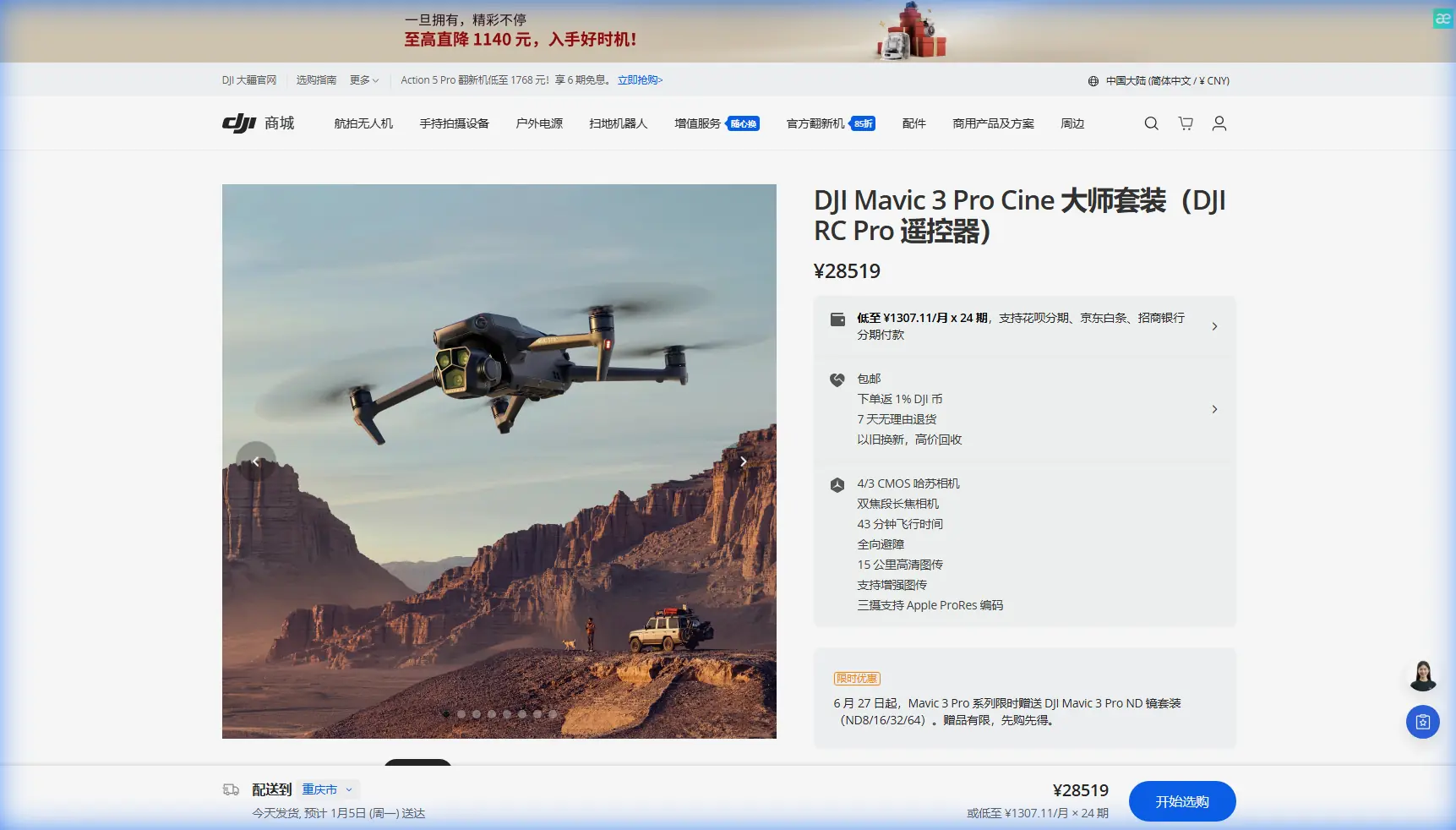
Mavic 3 Pro Low-Light Mapping: Field Guide for Pilots
Mavic 3 Pro Low-Light Mapping: Field Guide for Pilots
META: Master low-light field mapping with the Mavic 3 Pro. Expert techniques for antenna positioning, camera settings, and flight planning to capture accurate data.
TL;DR
- Triple-camera system enables flexible focal lengths for varying field sizes in challenging light
- Optimal antenna positioning increases signal range by up to 30% in rural mapping scenarios
- D-Log color profile preserves maximum dynamic range during golden hour and twilight operations
- Pre-flight planning reduces mission time by 40% while improving data consistency
Why Low-Light Mapping Demands the Right Equipment
Field mapping during dawn, dusk, or overcast conditions presents unique challenges that separate professional-grade drones from consumer models. The Mavic 3 Pro addresses these challenges with a 4/3 CMOS Hasselblad sensor that captures 12.8 stops of dynamic range—critical when shadows stretch across agricultural terrain.
Traditional mapping windows force operators into midday flights when harsh shadows create data inconsistencies. The Mavic 3 Pro's sensor performance opens new operational windows, allowing you to map when conditions suit your schedule rather than waiting for perfect light.
This guide covers antenna positioning strategies, camera configuration, and flight planning techniques specifically optimized for low-light agricultural and land survey mapping.
Understanding the Mavic 3 Pro's Mapping Capabilities
Triple-Camera System Advantages
The Mavic 3 Pro features three distinct cameras, each serving specific mapping purposes:
- Main Camera (24mm equivalent): Hasselblad sensor with f/2.8-f/11 aperture range, ideal for general orthomosaic capture
- Medium Tele (70mm equivalent): 1/1.3-inch sensor for detailed crop inspection and anomaly identification
- Tele Camera (166mm equivalent): Precision inspection of specific field areas without descending
For low-light mapping, the main camera's larger sensor captures 5.1μm pixels, gathering significantly more light than smaller-sensor competitors. This translates to cleaner images at ISO 800-1600 ranges commonly needed during twilight operations.
Obstacle Avoidance in Reduced Visibility
The omnidirectional obstacle avoidance system uses multiple vision sensors and infrared sensors to detect objects in all directions. During low-light mapping, this system becomes essential rather than optional.
Expert Insight: Enable APAS 5.0 (Advanced Pilot Assistance System) during all low-light operations. The system automatically adjusts sensitivity based on ambient light conditions, but manual verification of sensor cleanliness before each flight prevents false readings from dust or moisture.
The obstacle avoidance sensors maintain effectiveness down to approximately 1 lux of ambient light—roughly equivalent to deep twilight conditions. Below this threshold, consider manual flight modes with increased altitude buffers.
Antenna Positioning for Maximum Range in Field Operations
Proper antenna positioning dramatically impacts signal reliability during mapping missions. The Mavic 3 Pro's OcuSync 3+ transmission system delivers 15km maximum range under ideal conditions, but real-world agricultural environments introduce variables that reduce this significantly.
Optimal Controller Orientation
Follow these positioning principles for consistent signal strength:
- Keep antennas perpendicular to the drone's position—the flat face of each antenna should point toward the aircraft
- Maintain antenna tips pointed upward at approximately 45-60 degrees from horizontal
- Avoid crossing antennas—this creates signal interference patterns that reduce effective range
- Position your body behind the controller—human tissue absorbs radio frequencies and creates signal shadows
Pro Tip: During long mapping missions covering large fields, reposition yourself at the field's midpoint rather than remaining at the launch location. This simple adjustment can extend effective range by 25-30% and maintains stronger signal throughout the entire mission.
Environmental Factors Affecting Signal
Rural mapping environments typically offer cleaner signal paths than urban areas, but specific obstacles require attention:
- Metal structures (silos, equipment sheds, irrigation pivots) create reflection and interference
- Dense tree lines at field edges absorb signal, particularly when wet
- Power lines generate electromagnetic interference—maintain 50+ meter horizontal separation
- Terrain elevation changes can create signal shadows in valleys or depressions
Camera Settings for Low-Light Mapping Success
D-Log Configuration
The D-Log color profile captures the widest possible dynamic range, preserving shadow and highlight detail that standard profiles clip. For mapping applications, this translates to more recoverable data in post-processing.
Configure D-Log settings as follows:
- Color Profile: D-Log M
- ISO: Start at 400, increase only as needed
- Shutter Speed: Maintain minimum 1/focal length x 2 (for 24mm, use 1/50 or faster)
- Aperture: f/4-f/5.6 balances sharpness with light gathering
- White Balance: Manual setting based on conditions (avoid auto during mapping)
Exposure Strategy for Consistent Data
Mapping requires consistent exposure across all captured images. Automatic exposure creates stitching problems when brightness varies between frames.
Lock exposure settings before beginning your mission:
- Fly to mission altitude
- Point camera at representative terrain
- Adjust settings until histogram shows balanced distribution
- Lock all exposure parameters
- Verify settings remain appropriate at mission boundaries
Technical Comparison: Mavic 3 Pro vs. Mapping Alternatives
| Feature | Mavic 3 Pro | Mavic 3 Enterprise | Phantom 4 RTK |
|---|---|---|---|
| Sensor Size | 4/3 inch | 4/3 inch | 1 inch |
| Low-Light ISO | 100-6400 | 100-6400 | 100-12800 |
| Dynamic Range | 12.8 stops | 12.8 stops | 11.6 stops |
| Obstacle Avoidance | Omnidirectional | Omnidirectional | Forward/Backward |
| Flight Time | 43 minutes | 45 minutes | 30 minutes |
| Transmission Range | 15km | 15km | 7km |
| RTK Support | Via module | Built-in | Built-in |
| Weight | 958g | 920g | 1391g |
The Mavic 3 Pro offers the best balance of sensor performance and portability for operators who prioritize low-light capability without dedicated survey-grade requirements.
Flight Planning for Low-Light Missions
Pre-Mission Checklist
Complete these steps before every low-light mapping operation:
- Check weather radar for incoming cloud cover that may further reduce light
- Calculate civil twilight times for your specific location and date
- Verify battery temperatures—cold batteries reduce capacity by up to 20%
- Clean all sensors including obstacle avoidance cameras and main lens
- Test Subject Tracking functionality if monitoring specific field features
- Configure Hyperlapse settings if capturing time-progression data
Mission Timing Strategy
The 30 minutes before and after sunset provide optimal low-light mapping conditions. During this window:
- Shadows lengthen but remain defined, revealing terrain contours
- Color temperature shifts create natural contrast enhancement
- Wind typically decreases as thermal activity subsides
- Wildlife activity reduces, minimizing unexpected obstacles
ActiveTrack features can monitor field boundaries or equipment during mapping, but disable tracking during actual data capture to maintain consistent flight paths.
Common Mistakes to Avoid
Ignoring ND Filters in Transitional Light Many operators remove ND filters entirely for low-light work. However, during golden hour, an ND4 or ND8 filter allows proper shutter speed selection while maintaining motion blur control. Removing filters completely often forces shutter speeds too fast for smooth video or creates aperture compromises.
Rushing Battery Swaps Cold batteries inserted into a warm drone create condensation on internal components. Allow 2-3 minutes for temperature equalization before launching with a fresh battery during cool-weather operations.
Neglecting Ground Control Points Low-light conditions make GCP identification more difficult in post-processing. Use reflective markers or LED-equipped GCPs that remain visible in reduced light conditions.
Overlooking Firmware Updates DJI regularly updates obstacle avoidance algorithms and low-light autofocus performance. Verify firmware currency before critical mapping missions—but never update immediately before an important flight.
Flying Below Optimal Altitude Lower altitudes seem logical for light gathering, but they increase required image count and processing time. Maintain standard mapping altitudes and rely on sensor capability rather than proximity.
Frequently Asked Questions
What ISO setting provides the best balance between noise and exposure for agricultural mapping?
For the Mavic 3 Pro's Hasselblad sensor, ISO 400-800 delivers optimal results in most low-light mapping scenarios. The sensor maintains excellent detail retention through ISO 1600, but noise becomes visible in uniform areas like bare soil or water. When possible, adjust aperture and shutter speed before increasing ISO beyond 800.
Can QuickShots modes be used effectively during mapping missions?
QuickShots serve documentation and marketing purposes rather than data collection. Use QuickShots to capture site overview footage before or after your mapping mission, but rely on structured flight paths with consistent parameters for actual mapping data. The automated movements create exposure variations that compromise stitching accuracy.
How does the Mavic 3 Pro's flight time change in cold, low-light conditions?
Expect 15-25% reduction in effective flight time when operating in temperatures below 10°C (50°F). The 43-minute maximum flight time assumes optimal conditions with a fully charged, warm battery. For cold-weather low-light operations, plan missions assuming 32-35 minutes of actual flight time and maintain battery temperatures above 20°C before launch using insulated cases or vehicle heating.
Ready for your own Mavic 3 Pro? Contact our team for expert consultation.