Mapping Construction Sites with Mavic 3 Pro | Guide
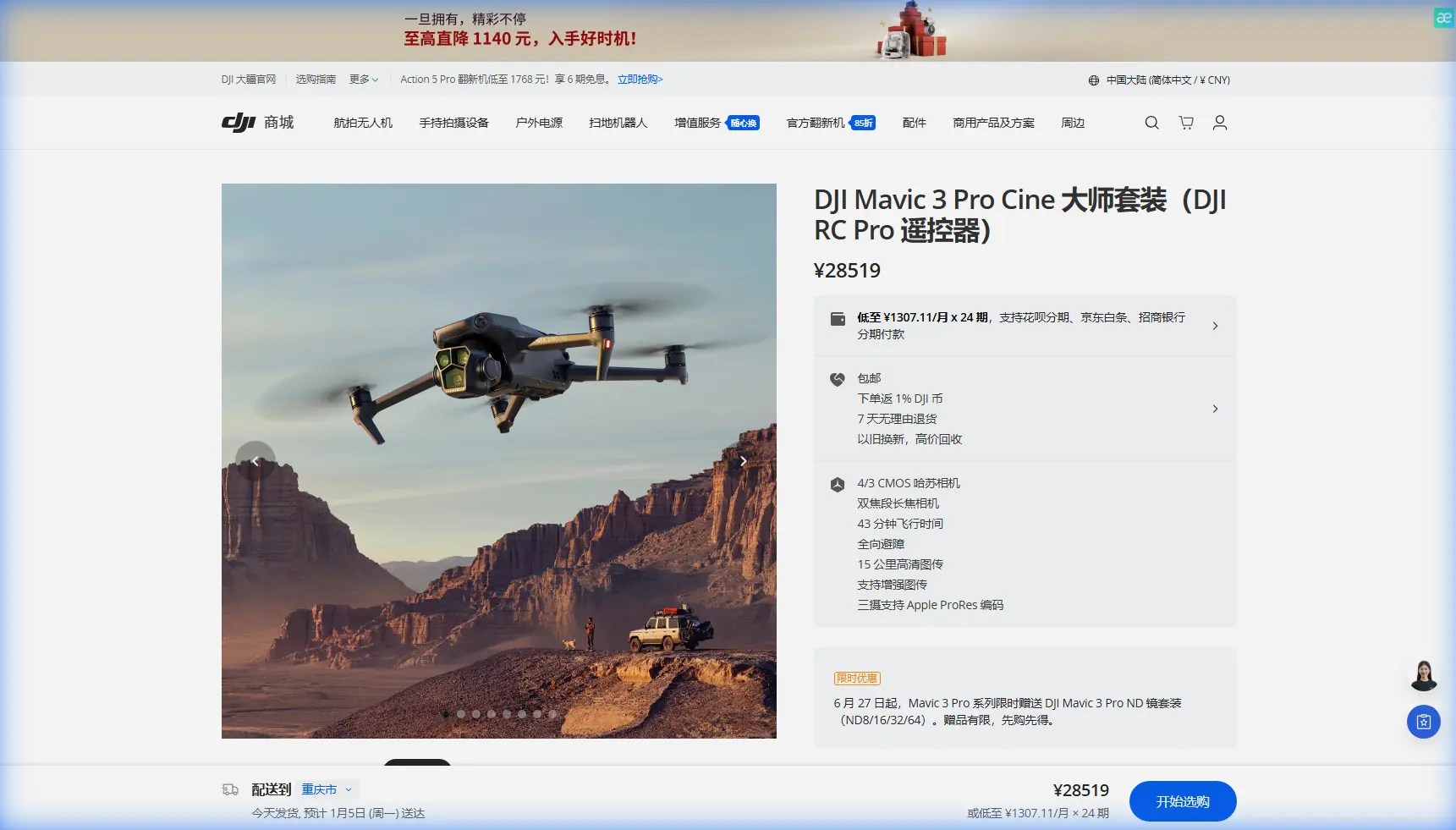
Mapping Construction Sites with Mavic 3 Pro | Guide
META: Master urban construction site mapping with the Mavic 3 Pro. Learn expert techniques for accurate surveys, obstacle navigation, and professional deliverables.
TL;DR
- Triple-camera system captures wide-area context and fine detail in a single flight mission
- Omnidirectional obstacle avoidance enables confident flying near cranes, scaffolding, and active work zones
- 43-minute flight time covers large urban sites without battery swaps mid-mission
- D-Log color profile preserves maximum dynamic range for professional orthomosaic processing
The Urban Mapping Challenge That Changed My Workflow
Last spring, I nearly lost a client over a botched construction progress report. The site sat wedged between two high-rises in downtown Seattle, with tower cranes swinging overhead and scaffolding creating a maze of metal. My previous drone couldn't handle the complexity—missed obstacles, inconsistent image overlap, and a final deliverable that looked amateur.
That project failure pushed me toward the Mavic 3 Pro, and the difference has been transformative. Urban construction mapping demands a specific combination of capabilities: reliable obstacle detection, consistent image quality across varying light conditions, and enough flight endurance to complete comprehensive surveys without rushing.
This guide breaks down exactly how I use the Mavic 3 Pro for professional construction site mapping, including the settings, flight patterns, and post-processing techniques that produce client-ready deliverables.
Why Urban Construction Sites Demand More From Your Drone
Construction environments present unique challenges that recreational flying never encounters. Active sites feature moving equipment, reflective surfaces, dust clouds, and constantly changing terrain. The margin for error shrinks dramatically when you're flying near expensive machinery and active workers.
The Complexity Factor
Urban construction sites typically include:
- Vertical obstructions like cranes, concrete pumps, and material hoists
- Reflective surfaces from glass facades, metal cladding, and standing water
- Electromagnetic interference from heavy equipment and nearby buildings
- Restricted airspace requiring precise altitude management
- Time pressure from limited site access windows
The Mavic 3 Pro addresses these challenges through hardware capabilities that directly translate to mapping reliability.
Triple-Camera System: The Mapping Advantage
The Mavic 3 Pro's three-camera array fundamentally changes how I approach construction documentation. Rather than choosing between wide coverage and detail capture, I can accomplish both objectives in coordinated flight missions.
Camera Specifications That Matter for Mapping
| Camera | Sensor Size | Resolution | Focal Length | Primary Mapping Use |
|---|---|---|---|---|
| Hasselblad Wide | 4/3 CMOS | 20MP | 24mm equiv. | Orthomosaic base imagery |
| Medium Tele | 1/1.3-inch | 48MP | 70mm equiv. | Structural detail capture |
| Tele | 1/2-inch | 12MP | 166mm equiv. | Defect documentation |
The 4/3-inch Hasselblad sensor serves as my primary mapping camera. Its larger photosites capture more light information, which proves critical during early morning or late afternoon flights when shadows create challenging dynamic range situations.
Expert Insight: For orthomosaic generation, I exclusively use the 24mm Hasselblad camera. The wider field of view means fewer images required for complete coverage, which reduces processing time and potential stitching errors. Save the telephoto cameras for supplementary detail documentation after completing your primary mapping mission.
Practical Multi-Camera Workflow
My standard urban site documentation follows a two-phase approach:
Phase One: Systematic Grid Coverage
- Hasselblad camera at 80% frontal overlap, 70% side overlap
- Altitude set to achieve 2cm/pixel ground sampling distance
- Nadir (straight-down) orientation for accurate measurements
Phase Two: Oblique Detail Capture
- Medium telephoto for facade documentation
- 45-degree gimbal angle for dimensional context
- Manual flight paths focusing on areas of interest
This combination produces deliverables that satisfy both project managers needing progress documentation and engineers requiring measurement-grade accuracy.
Obstacle Avoidance: Flying Confidently in Complex Environments
The Mavic 3 Pro's omnidirectional obstacle sensing system uses multiple vision sensors and a wide-angle depth camera to detect obstructions in all directions. For construction mapping, this capability transforms from a safety feature into a productivity tool.
How Obstacle Avoidance Enables Better Mapping
Without reliable obstacle detection, pilots fly conservatively—maintaining excessive distance from structures and limiting flight paths to open areas. This conservative approach often means incomplete coverage and missed details.
The Mavic 3 Pro's sensing system detects obstacles up to 200 meters away in optimal conditions, with reliable detection at 30-40 meters in typical construction environments. This detection range provides enough warning to smoothly adjust flight paths without abrupt maneuvers that blur images.
Pro Tip: Set obstacle avoidance to "Bypass" mode rather than "Brake" for mapping missions. Bypass mode allows the drone to smoothly navigate around detected obstacles while maintaining forward progress, keeping your image capture consistent. Brake mode creates stop-and-start patterns that complicate automated flight planning.
Real-World Performance Observations
During a recent high-rise construction project, I flew mapping patterns within 15 meters of an active tower crane. The obstacle avoidance system consistently detected the crane's moving jib and adjusted my programmed flight path to maintain safe separation while still capturing the required imagery.
The system handles common construction obstacles effectively:
- Scaffolding: Detected reliably despite complex geometry
- Guy wires: Challenging but usually detected at closer ranges
- Dust and debris: Minimal impact on sensor performance
- Reflective surfaces: Occasional false positives, manageable with altitude adjustments
Flight Endurance: Completing Missions Without Compromise
The Mavic 3 Pro's 43-minute maximum flight time translates to approximately 30-35 minutes of practical mapping time when accounting for takeoff, landing, and safety reserves. This endurance significantly impacts urban construction mapping efficiency.
Coverage Calculations
At typical mapping parameters (80m altitude, 80/70 overlap, 2cm GSD), a single battery covers approximately:
- 8-10 hectares of open terrain
- 4-6 hectares of complex urban sites with multiple passes
- 2-3 hectares when including oblique documentation
For most urban construction projects, this means completing comprehensive documentation in one or two batteries rather than the four or five required by shorter-endurance platforms.
Battery Management for Professional Results
I carry three batteries to every urban mapping job, following this deployment strategy:
- Battery One: Complete primary nadir mapping grid
- Battery Two: Oblique passes and detail documentation
- Battery Three: Reserve for re-flights or additional client requests
This approach ensures I never leave a site with incomplete coverage due to power limitations.
D-Log and Color Science for Processing Flexibility
Construction site lighting creates extreme dynamic range challenges. Bright concrete and steel reflect intense sunlight while shadows beneath structures go nearly black. The Mavic 3 Pro's D-Log color profile captures this range for processing flexibility.
Why D-Log Matters for Mapping
Standard color profiles apply contrast curves and saturation adjustments in-camera. While these images look better immediately, they discard highlight and shadow information that photogrammetry software needs for accurate stitching.
D-Log captures a flat, low-contrast image that preserves approximately 12.8 stops of dynamic range. This preservation means:
- Consistent exposure across varying lighting conditions
- Better texture detection in shadowed areas
- Reduced stitching errors at high-contrast boundaries
- More accurate color representation in final orthomosaics
Processing D-Log Footage
D-Log images require color correction before delivery but process identically to standard images in photogrammetry software. I apply a basic contrast curve and white balance adjustment in batch before generating client-facing exports.
Common Mistakes to Avoid
Flying too fast for consistent overlap: The Mavic 3 Pro can cruise at 15 m/s, but mapping missions should stay below 8 m/s to ensure proper image overlap. Faster speeds create gaps in coverage that only become apparent during processing.
Ignoring wind conditions: Urban environments create unpredictable wind patterns as air flows around buildings. Even when ground-level conditions seem calm, check forecasts for winds at your planned flight altitude. The Mavic 3 Pro handles 12 m/s winds, but image sharpness degrades above 8 m/s.
Skipping ground control points: The Mavic 3 Pro's GPS provides 1.5-meter horizontal accuracy, insufficient for measurement-grade deliverables. Always deploy ground control points for projects requiring dimensional accuracy.
Using automatic exposure: Automatic exposure adjusts between images, creating inconsistent brightness that complicates stitching. Lock exposure manually before beginning mapping runs.
Neglecting airspace verification: Urban areas frequently include restricted airspace, temporary flight restrictions, and controlled zones. Verify authorization before every flight, even at familiar sites.
Frequently Asked Questions
Can the Mavic 3 Pro produce survey-grade mapping accuracy?
The Mavic 3 Pro achieves 2-3 centimeter relative accuracy with proper ground control points and flight planning. This accuracy satisfies most construction progress documentation requirements. For legal survey work requiring sub-centimeter accuracy, RTK-equipped platforms remain necessary, though the Mavic 3 Pro serves effectively for preliminary surveys and progress monitoring.
How does ActiveTrack perform for construction documentation?
ActiveTrack excels for documenting specific equipment or following workers through site walkthroughs. The Subject tracking system maintains focus on selected targets while the obstacle avoidance system prevents collisions. However, ActiveTrack isn't suitable for systematic mapping—use programmed grid flights for coverage documentation and reserve ActiveTrack for supplementary video content.
What's the best approach for mapping sites with active cranes?
Coordinate with site management to schedule flights during crane downtime when possible. When flying near active cranes, maintain 30-meter minimum separation and use the obstacle avoidance system as a backup rather than primary protection. Program flight paths that avoid crane swing radius, and always have a visual observer monitoring crane movement during flights.
Building Your Urban Mapping Capability
The Mavic 3 Pro has become my primary platform for urban construction documentation because it balances capability with practicality. The triple-camera system, reliable obstacle avoidance, and extended flight time address the specific challenges that make urban sites difficult to map effectively.
Success with construction mapping requires more than capable hardware. Invest time in understanding photogrammetry principles, practice flight planning in low-stakes environments, and build relationships with construction professionals who can provide site access and context for your documentation work.
The techniques outlined here represent my current workflow after hundreds of construction mapping flights. Your specific applications may require adjustments, but the fundamental capabilities of the Mavic 3 Pro provide a solid foundation for professional-quality deliverables.
Ready for your own Mavic 3 Pro? Contact our team for expert consultation.