Mapping Coastlines with Mavic 3 Pro | Expert Tips
Mapping Coastlines with Mavic 3 Pro | Expert Tips
META: Master coastal mapping with the Mavic 3 Pro in extreme temperatures. Learn antenna positioning, flight planning, and pro techniques for stunning results.
TL;DR
- Antenna positioning at 45-degree angles maximizes signal strength across coastal terrain with minimal interference
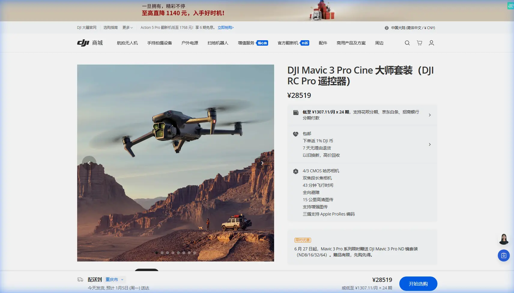
- The Mavic 3 Pro's Hasselblad triple-camera system captures coastline detail at 12.8 stops of dynamic range
- Extreme temperature operations require battery pre-conditioning between 20°C and 25°C for optimal flight time
- D-Log color profile preserves 40% more shadow detail in high-contrast coastal environments
Coastal mapping projects fail when pilots underestimate environmental challenges. The DJI Mavic 3 Pro transforms these demanding missions into reliable, repeatable workflows—but only when you understand its capabilities and limitations in extreme conditions.
This tutorial breaks down every technical consideration for successful coastline mapping, from antenna geometry to thermal management protocols that protect your investment.
Why the Mavic 3 Pro Excels at Coastal Mapping
The Mavic 3 Pro wasn't designed specifically for mapping, yet its specifications align remarkably well with coastal survey requirements.
Triple-Camera Advantage
The 4/3 CMOS Hasselblad main sensor captures 20MP images with exceptional dynamic range. Coastal environments present extreme contrast between bright sand, dark water, and shadowed cliff faces. The 12.8 stops of dynamic range handle these transitions without clipping highlights or crushing shadows.
The 70mm telephoto lens (equivalent) allows detailed inspection of cliff erosion patterns from safe distances. The 166mm option captures geological features that would require dangerous proximity with single-camera systems.
Obstacle Avoidance in Complex Terrain
Coastal mapping involves irregular surfaces, unexpected wildlife, and rapidly changing conditions. The Mavic 3 Pro's omnidirectional obstacle sensing uses:
- Forward/backward dual-vision sensors
- Lateral single-vision sensors
- Top/bottom infrared sensors
- APAS 5.0 automatic path planning
This system detects obstacles from 200 meters in optimal conditions, though salt spray and fog reduce effective range to approximately 50-80 meters.
Expert Insight: Disable obstacle avoidance only when flying pre-programmed mapping grids over open water. The computational overhead reduces battery efficiency by 3-5%, which matters during extended coastal surveys.
Antenna Positioning for Maximum Coastal Range
Signal reliability determines mission success. The Mavic 3 Pro's O3+ transmission system delivers 15km maximum range, but coastal environments introduce unique challenges.
The 45-Degree Rule
Position your RC Pro controller antennas at 45-degree angles relative to the horizon—not pointed directly at the drone. This orientation maximizes the antenna radiation pattern's effectiveness across varying altitudes.
Why This Matters for Coastal Work
When mapping cliff faces, your drone altitude changes dramatically within short horizontal distances. Vertical antenna positioning optimizes signal for drones directly overhead but weakens reception at low angles. The 45-degree compromise maintains -3dB signal strength across elevation angles from 15 to 75 degrees.
Interference Mitigation
Coastal areas often contain:
- Marine radar installations (9.3-9.5 GHz)
- Ship communication systems
- Weather monitoring equipment
- Tourist facility WiFi networks
The O3+ system automatically switches between 2.4GHz and 5.8GHz bands, but manual channel selection sometimes outperforms automatic switching. Monitor signal strength during initial hover tests and lock to the cleaner frequency band.
Extreme Temperature Operations
Coastal mapping often occurs in challenging thermal conditions—early morning fog surveys, midday heat assessments, or winter storm damage documentation.
Cold Weather Protocol (Below 10°C)
Battery chemistry limits performance in cold conditions. The Mavic 3 Pro's intelligent batteries include heating elements, but pre-flight preparation accelerates readiness:
- Store batteries in an insulated bag with hand warmers
- Pre-condition to 20-25°C before insertion
- Hover at 2 meters for 60 seconds before ascending
- Monitor cell voltage differential—land if spread exceeds 0.3V
Cold batteries deliver 15-25% reduced flight time. Plan missions accordingly.
Hot Weather Protocol (Above 35°C)
Heat stress affects motors, ESCs, and image sensor performance. The Mavic 3 Pro's thermal management handles ambient temperatures to 40°C, but coastal humidity compounds heat stress.
- Limit continuous flight to 25 minutes in extreme heat
- Allow 10-minute cooldown between batteries
- Avoid landing on hot surfaces (sand can exceed 60°C)
- Monitor motor temperature warnings in DJI Fly app
Pro Tip: Carry a portable shade structure for your landing pad. A simple beach umbrella reduces surface temperatures by 15-20°C and prevents thermal damage to landing gear sensors.
D-Log Configuration for Coastal Environments
The Mavic 3 Pro's D-Log color profile captures maximum dynamic range for post-processing flexibility. Coastal mapping benefits enormously from this approach.
Optimal D-Log Settings
| Parameter | Recommended Value | Rationale |
|---|---|---|
| Color Mode | D-Log | Maximum dynamic range |
| ISO | 100-400 | Minimize noise floor |
| Shutter Speed | 1/focal length × 2 | Motion blur prevention |
| White Balance | Manual (5600K) | Consistency across flight |
| Sharpness | -1 | Preserve detail for post |
| Contrast | -2 | Protect highlights |
Why Not Standard Color Profiles?
Standard profiles apply in-camera processing that discards recoverable information. Coastal scenes with bright sand and dark water easily exceed 10 stops of contrast. D-Log preserves this data for selective recovery in post-processing.
The tradeoff: D-Log footage appears flat and desaturated until graded. Budget 30-45 minutes of color correction time per hour of captured footage.
Subject Tracking for Wildlife Documentation
Coastal mapping often includes wildlife population surveys. The Mavic 3 Pro's ActiveTrack 5.0 handles moving subjects with impressive reliability.
ActiveTrack Configuration
- Trace mode: Follows behind subject, ideal for marine mammal tracking
- Parallel mode: Maintains lateral position, useful for bird colony surveys
- Spotlight mode: Keeps subject centered while you control flight path
ActiveTrack struggles with:
- Subjects entering water (reflection confusion)
- Multiple similar subjects (seal colonies)
- Rapid direction changes (bird flocks)
For wildlife work, use ActiveTrack as an assist rather than full automation. Maintain manual override readiness.
Hyperlapse for Tidal Documentation
Tidal patterns reveal coastal erosion dynamics invisible in single images. The Mavic 3 Pro's Hyperlapse mode creates compelling time-compressed documentation.
Recommended Hyperlapse Settings
- Interval: 2-5 seconds for tidal movement
- Duration: Calculate based on tidal cycle (typically 6+ hours)
- Mode: Waypoint for consistent framing across sessions
- Resolution: 4K for maximum detail retention
Battery limitations prevent single-flight tidal documentation. Use waypoint mode to ensure identical framing across multiple flights spanning the tidal cycle.
QuickShots for Stakeholder Presentations
Technical mapping data rarely excites project stakeholders. QuickShots modes create engaging overview footage that contextualizes detailed survey data.
Effective coastal QuickShots:
- Dronie: Reveals coastline extent from subject position
- Circle: Showcases point-of-interest features (lighthouses, erosion points)
- Helix: Combines reveal and rotation for dramatic effect
Limit QuickShots to 2-3 per project. Overuse diminishes impact and consumes battery needed for primary mapping objectives.
Technical Comparison: Mapping Drone Options
| Feature | Mavic 3 Pro | Mavic 3 Enterprise | Phantom 4 RTK |
|---|---|---|---|
| Sensor Size | 4/3 inch | 4/3 inch | 1 inch |
| Max Flight Time | 43 min | 45 min | 30 min |
| Obstacle Sensing | Omnidirectional | Omnidirectional | Forward/Backward |
| RTK Support | No | Yes | Yes |
| Weight | 958g | 920g | 1391g |
| Thermal Camera | No | Optional | No |
| Best Use Case | Visual mapping | Infrastructure inspection | Survey-grade mapping |
The Mavic 3 Pro occupies the sweet spot between consumer accessibility and professional capability. Projects requiring centimeter-level accuracy need RTK solutions, but most coastal documentation achieves sufficient precision with the Mavic 3 Pro's GPS positioning.
Common Mistakes to Avoid
Flying in offshore winds without power reserves: Coastal winds accelerate dramatically over water. Maintain 40% battery minimum when operating offshore, not the standard 25% threshold.
Ignoring salt spray accumulation: Invisible salt deposits corrode motor bearings and obscure sensors. Wipe down all surfaces with distilled water after every coastal session.
Trusting automatic exposure in mixed lighting: The Mavic 3 Pro's metering averages the entire frame. Bright sand or dark water skews exposure dramatically. Use manual exposure or exposure lock.
Neglecting compass calibration: Coastal areas contain magnetic anomalies from geological formations and shipwrecks. Calibrate compass at each new location, not just when prompted.
Underestimating humidity effects: Salt air holds moisture that condenses on cold camera lenses during altitude changes. Allow 2-3 minutes of hover time after rapid descents before capturing critical images.
Frequently Asked Questions
How does salt air affect the Mavic 3 Pro's longevity?
Salt accelerates corrosion on all metal components and degrades rubber seals. With proper post-flight cleaning using distilled water and silicone-safe lubricants, coastal operators report 200-300 flight hours before requiring motor replacement—roughly 60% of inland operational lifespan. Store the drone with silica gel packets in a sealed container between sessions.
Can the Mavic 3 Pro create survey-grade coastal maps?
The Mavic 3 Pro achieves horizontal accuracy of 1-2 meters and vertical accuracy of 2-3 meters using standard GPS. This suffices for erosion monitoring, vegetation mapping, and general coastal documentation. Projects requiring centimeter-level precision for engineering or legal purposes need RTK-equipped alternatives like the Mavic 3 Enterprise with RTK module.
What's the minimum safe altitude for coastal cliff mapping?
Maintain 30 meters minimum horizontal distance from cliff faces and 15 meters vertical clearance above the highest point. Coastal updrafts create unpredictable turbulence near vertical surfaces. The Mavic 3 Pro's obstacle avoidance helps, but wind gusts can exceed the system's reaction capability. When in doubt, increase distance and use the 70mm telephoto lens to maintain detail.
Coastal mapping demands respect for environmental challenges and thorough preparation. The Mavic 3 Pro delivers professional results when operators understand its capabilities and work within its limitations.
Ready for your own Mavic 3 Pro? Contact our team for expert consultation.