Mavic 3 Pro for Forest Filming: Mountain Expert Guide
Mavic 3 Pro for Forest Filming: Mountain Expert Guide
META: Master forest filming with Mavic 3 Pro in mountain terrain. Learn obstacle avoidance, D-Log settings, and antenna positioning for stunning aerial footage.
TL;DR
- Tri-camera system enables seamless focal length transitions from wide forest canopies to intimate wildlife details
- APAS 5.0 obstacle avoidance with omnidirectional sensors prevents collisions in dense tree environments
- Proper antenna positioning extends reliable signal range up to 15km in mountainous terrain
- D-Log color profile captures 12.8 stops of dynamic range for challenging forest lighting conditions
Why the Mavic 3 Pro Excels in Forest Environments
Forest filming presents unique challenges that separate professional results from amateur footage. Dense canopy coverage, unpredictable wildlife movement, and dramatic elevation changes demand equipment that responds intelligently to rapidly shifting conditions.
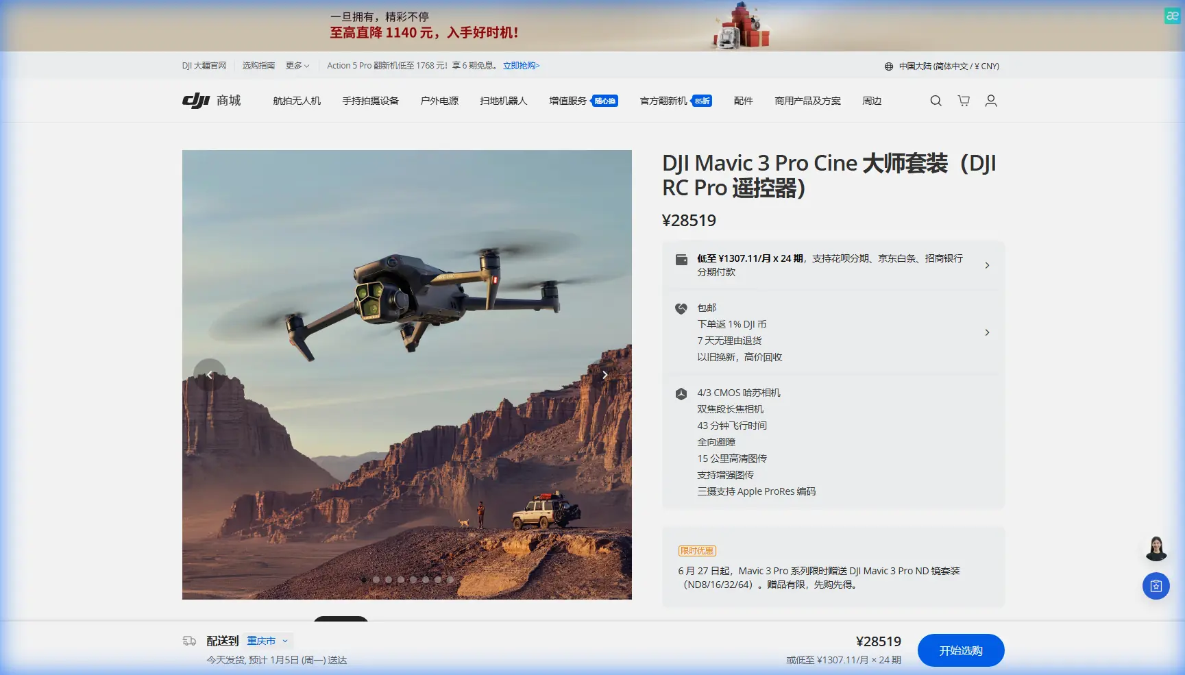
The Mavic 3 Pro addresses these challenges through its Hasselblad triple-camera array, combining a 4/3 CMOS sensor with 24mm, 70mm, and 166mm equivalent focal lengths. This configuration eliminates the need for multiple drones or risky mid-flight lens changes when transitioning from sweeping landscape shots to detailed bark textures.
Expert Insight: When filming in mountain forests, I always scout locations during golden hour the day before. The Mavic 3 Pro's 46-minute maximum flight time gives you extended windows to capture that perfect light filtering through the trees—something shorter-flight drones simply cannot match.
Mastering Obstacle Avoidance in Dense Woodland
Understanding APAS 5.0 Technology
The Advanced Pilot Assistance System 5.0 represents a significant leap in autonomous navigation. Eight wide-angle sensors create a 360-degree perception sphere around the aircraft, detecting obstacles from 0.5 to 200 meters away.
In forest environments, this system becomes your primary safety net. The drone continuously calculates flight paths around tree trunks, branches, and unexpected obstacles while maintaining your intended trajectory.
Key APAS 5.0 settings for forest filming:
- Bypass Mode: Drone automatically navigates around obstacles while continuing toward waypoints
- Brake Mode: Aircraft stops when obstacles are detected, awaiting pilot input
- Off Mode: Disables avoidance for experienced pilots in controlled environments
Configuring Sensors for Maximum Protection
Before entering dense woodland, verify all sensors are clean and functioning. A single leaf fragment on a downward-facing sensor can trigger false readings, causing erratic flight behavior.
Enable infrared sensing for low-light conditions under heavy canopy. The Mavic 3 Pro's bottom-mounted infrared sensors detect ground obstacles even when visible light sensors struggle.
Pro Tip: Set your minimum altitude to 3 meters above the forest floor. This prevents the drone from descending into undergrowth during automated maneuvers while still allowing dramatic low-angle shots through clearings.
Antenna Positioning for Mountain Range Optimization
Signal reliability in mountainous forest terrain depends heavily on proper antenna orientation. The Mavic 3 Pro controller features dual antennas that emit signals in a flat, fan-shaped pattern perpendicular to their surface.
The Golden Rule of Antenna Positioning
Always point the flat face of both antennas directly toward your drone. As the aircraft moves, continuously adjust your controller orientation to maintain this alignment.
Common positioning mistakes:
- Pointing antenna tips at the drone (weakest signal direction)
- Holding controller flat against your body (signal blocked by torso)
- Failing to adjust as drone position changes
- Standing near metal structures or vehicles
Dealing with Mountain Terrain Interference
Mountains create natural signal barriers. When filming on slopes, position yourself above or level with your flight path whenever possible. Signals traveling downward through clear air maintain stronger connections than those fighting through rock and soil.
Optimal positioning strategy:
- Identify your intended flight area
- Find elevated ground with clear line-of-sight
- Orient antennas toward the center of your flight zone
- Monitor signal strength indicators throughout the flight
- Establish a return-to-home point before signal degradation occurs
The Mavic 3 Pro maintains reliable connections up to 15km in ideal conditions, but expect 3-5km practical range in heavily forested mountain environments due to terrain interference.
Subject Tracking and ActiveTrack for Wildlife
Configuring ActiveTrack 5.0
ActiveTrack transforms wildlife filming from a frustrating chase into a smooth, cinematic experience. The system uses machine learning algorithms to identify and follow subjects through complex backgrounds.
Activation steps:
- Frame your subject on screen
- Draw a selection box around the target
- Select tracking mode (Trace, Parallel, or Spotlight)
- Confirm tracking lock before initiating movement
For forest wildlife, Spotlight mode often produces the best results. The drone maintains position while the gimbal tracks the subject, reducing the risk of collision with surrounding trees.
Tracking Limitations in Forest Environments
ActiveTrack performs best with clear contrast between subject and background. Animals with camouflage coloring may cause tracking failures when moving through dappled light.
Improve tracking reliability by:
- Selecting subjects during movement (motion helps AI identification)
- Choosing moments when subjects cross clearings
- Using the 70mm telephoto for tighter framing and better subject isolation
- Avoiding backlit situations where subjects become silhouettes
D-Log and Color Science for Forest Cinematography
Why D-Log Matters Under Canopy
Forest lighting creates extreme contrast ratios. Bright sky visible through gaps, deep shadows under dense coverage, and constantly shifting light as clouds move overhead challenge any camera system.
D-Log captures 12.8 stops of dynamic range, preserving detail in both highlights and shadows that standard color profiles would clip. This flat color profile requires post-production grading but delivers significantly more flexibility.
D-Log settings for forest work:
| Parameter | Recommended Setting | Reasoning |
|---|---|---|
| Color Mode | D-Log | Maximum dynamic range |
| ISO | 100-400 | Minimizes noise in shadows |
| Shutter Speed | 1/50 at 24fps | Natural motion blur |
| Aperture | f/2.8-f/5.6 | Balance sharpness and depth |
| White Balance | 5600K | Neutral starting point for grading |
Exposing for Forest Conditions
Use the zebra pattern overlay set to 70% to identify properly exposed midtones. In forest environments, expose for the brightest areas you want to retain detail in, allowing shadows to fall naturally.
The histogram should show information across the entire range without clipping either end. A slight bias toward the right (brighter) side reduces noise in shadow areas during post-production.
QuickShots and Hyperlapse Techniques
Automated Shots That Work in Forests
QuickShots provide professional camera movements with single-button activation. Not all modes suit forest environments equally.
Recommended QuickShots for woodland filming:
- Rocket: Straight vertical ascent revealing canopy from within
- Circle: Orbits a selected point (use in clearings only)
- Helix: Ascending spiral combining circle and rocket movements
Avoid in dense forests:
- Dronie: Backward flight risks collision with unseen obstacles
- Boomerang: Wide lateral movements unpredictable in tight spaces
Creating Forest Hyperlapses
Hyperlapse condenses extended time periods into dramatic sequences. Forest environments offer compelling subjects: moving shadows, shifting fog, changing light quality.
Hyperlapse configuration:
- Select Waypoint mode for complex forest paths
- Set 2-second intervals for smooth motion
- Choose Course Lock to maintain consistent heading
- Plan routes through clearings to minimize obstacle risk
- Enable APAS as a safety backup
The Mavic 3 Pro processes Hyperlapse footage internally, delivering stabilized 5.1K video ready for immediate use or further editing.
Technical Comparison: Mavic 3 Pro vs. Forest Filming Alternatives
| Feature | Mavic 3 Pro | Mavic 3 Classic | Air 3 |
|---|---|---|---|
| Sensor Size | 4/3 CMOS | 4/3 CMOS | 1/1.3 CMOS |
| Focal Lengths | 24/70/166mm | 24mm only | 24/70mm |
| Obstacle Sensing | Omnidirectional | Omnidirectional | Omnidirectional |
| Flight Time | 46 minutes | 46 minutes | 46 minutes |
| Video Resolution | 5.1K/50fps | 5.1K/50fps | 4K/60fps |
| Dynamic Range | 12.8 stops | 12.8 stops | 13.5 stops |
| Weight | 958g | 895g | 720g |
Common Mistakes to Avoid
Flying without pre-flight sensor checks: Moisture, debris, and condensation accumulate rapidly in forest environments. Inspect all eight sensors before every flight.
Ignoring wind patterns in valleys: Mountain forests create unpredictable wind tunnels. What feels calm at ground level may be turbulent at canopy height.
Over-relying on obstacle avoidance: APAS cannot detect thin branches, power lines, or fast-moving objects. Maintain visual contact and manual override readiness.
Shooting only in auto exposure: Forest light changes constantly. Manual exposure prevents jarring brightness shifts mid-shot.
Neglecting battery temperature: Cold mountain air reduces battery efficiency by up to 30%. Warm batteries before flight and monitor voltage closely.
Forgetting spare propellers: Branch strikes happen. Carry at least two complete sets when filming in woodland environments.
Frequently Asked Questions
Can the Mavic 3 Pro fly safely under dense forest canopy?
The Mavic 3 Pro can navigate under canopy in areas with sufficient clearance, typically requiring minimum 5-meter gaps between obstacles. APAS 5.0 provides collision protection, but dense undergrowth and thin branches may not register on sensors. Always maintain visual line of sight and fly conservatively in enclosed spaces.
What settings prevent overexposure when flying from shade into bright clearings?
Enable auto ISO with a maximum limit of 400 while keeping aperture and shutter speed fixed. This allows the camera to compensate for brightness changes without introducing motion blur or depth-of-field shifts. Alternatively, use ND filters (ND8 or ND16) to reduce overall light intake and maintain consistent exposure.
How do I maintain GPS lock in steep mountain terrain?
Position yourself on elevated ground with clear sky visibility before takeoff. The Mavic 3 Pro requires minimum 10 satellites for stable positioning. In deep valleys, allow extra time for satellite acquisition and consider enabling ATTI mode familiarity in case GPS becomes unreliable during flight.
Ready for your own Mavic 3 Pro? Contact our team for expert consultation.