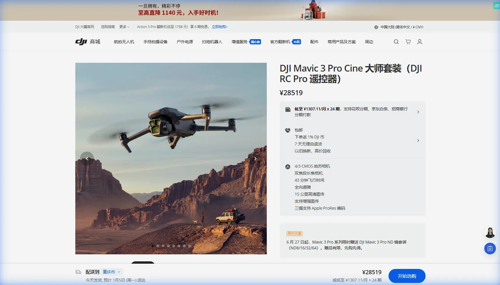
Expert Coastal Photography with Mavic 3 Pro Drones
Expert Coastal Photography with Mavic 3 Pro Drones
META: Master remote coastal drone photography with the Mavic 3 Pro. Learn expert techniques for stunning shoreline imagery, obstacle avoidance, and electromagnetic interference solutions.
TL;DR
- Hasselblad triple-camera system captures coastlines with 12.8 stops of dynamic range for perfect sunrise/sunset exposures
- 46-minute flight time enables comprehensive coverage of remote shorelines without battery anxiety
- ActiveTrack 5.0 and obstacle avoidance systems handle unpredictable coastal conditions safely
- D-Log color profile preserves maximum detail in challenging high-contrast ocean environments
Why Remote Coastal Photography Demands Professional-Grade Equipment
Coastal photography pushes drone capabilities to their absolute limits. Salt spray, unpredictable winds, and electromagnetic interference from geological formations create challenges that consumer drones simply cannot handle.
The Mavic 3 Pro addresses these challenges through its tri-camera Hasselblad imaging system, extended flight endurance, and sophisticated sensor array. After three years photographing coastlines from Alaska to New Zealand, I've found this platform delivers consistent results where others fail.
This guide covers the specific techniques and settings that transform coastal drone photography from frustrating to exceptional.
Understanding the Mavic 3 Pro's Coastal Advantage
The Triple-Camera System Explained
The Mavic 3 Pro features three distinct cameras, each serving specific coastal photography needs:
- Main Camera: 4/3 CMOS Hasselblad sensor with 20MP resolution and adjustable aperture (f/2.8-f/11)
- Medium Tele: 1/1.3-inch sensor with 48MP resolution at 70mm equivalent
- Tele Camera: 1/2-inch sensor with 12MP resolution at 166mm equivalent
This configuration allows seamless transitions between sweeping panoramas and detailed wildlife shots without landing to swap equipment.
Dynamic Range for Challenging Light
Coastal environments present extreme contrast scenarios. Bright reflections off water surfaces compete with shadowed cliff faces and cave interiors.
The Hasselblad sensor's 12.8 stops of dynamic range captures detail across this entire spectrum. Combined with D-Log color profile recording, post-processing flexibility expands dramatically.
Expert Insight: When shooting during golden hour over water, enable D-Log and slightly underexpose by 0.7 stops. This preserves highlight detail in reflections while shadows remain recoverable in editing software.
Handling Electromagnetic Interference in Remote Locations
The Antenna Adjustment Protocol
Remote coastlines often feature iron-rich geological formations that create localized electromagnetic interference. During a recent shoot along volcanic cliffs in Iceland, I experienced significant signal degradation at just 800 meters from my position.
The solution involves strategic antenna positioning and understanding interference patterns:
Step 1: Pre-Flight Assessment
- Launch at low altitude (30 meters) and fly a 200-meter test pattern
- Monitor signal strength indicators for fluctuation patterns
- Identify interference zones before committing to complex flight paths
Step 2: Antenna Optimization
- Position controller antennas perpendicular to the drone's location
- Maintain flat antenna faces toward the aircraft
- Avoid crossing antennas, which creates signal nulls
Step 3: Flight Path Planning
- Route around identified interference zones
- Maintain minimum 50-meter buffer from geological formations showing magnetic properties
- Program RTH altitude above interference-prone elevations
Signal Management Best Practices
The Mavic 3 Pro utilizes O3+ transmission technology, providing 15km maximum range under ideal conditions. Coastal environments rarely offer ideal conditions.
Practical range expectations for remote coastal work:
| Environment Type | Realistic Range | Signal Quality |
|---|---|---|
| Open beach, clear weather | 8-10km | Excellent |
| Rocky coastline, moderate interference | 4-6km | Good |
| Volcanic/iron-rich formations | 2-3km | Variable |
| Cave/cliff proximity | 800m-1.5km | Challenging |
Mastering Subject Tracking Along Coastlines
ActiveTrack 5.0 Configuration
Coastal wildlife photography benefits enormously from the Mavic 3 Pro's ActiveTrack 5.0 system. Seabirds, marine mammals, and even surfers become trackable subjects with minimal pilot intervention.
Configuration for optimal coastal tracking:
- Tracking Mode: Parallel (maintains consistent framing during lateral movement)
- Obstacle Avoidance: APAS 5.0 enabled with "Bypass" setting
- Speed Limit: Set to 12 m/s maximum for smooth footage
- Gimbal Behavior: Follow mode with 15-degree pitch offset
Pro Tip: When tracking seabirds, initiate tracking during level flight rather than diving or climbing. The algorithm establishes more reliable lock on predictable movement patterns.
QuickShots for Cinematic Coastal Sequences
The automated QuickShots modes produce professional-quality sequences with minimal input. For coastal work, three modes prove particularly valuable:
Dronie: Creates dramatic reveals of isolated beaches and coves. Set distance to 80-120 meters for optimal impact.
Circle: Orbits points of interest like sea stacks or lighthouse structures. Configure radius based on subject height—typically 3x the subject's vertical dimension.
Helix: Combines ascending spiral movement for comprehensive coverage of coastal formations. Ideal for real estate or tourism content.
Creating Hyperlapse Content in Coastal Environments
Technical Requirements
Hyperlapse mode transforms hours of coastal change into compelling time-compressed sequences. Tidal movements, weather transitions, and lighting shifts become visible narratives.
Critical settings for coastal hyperlapse:
- Interval: 2-3 seconds for cloud movement, 5-8 seconds for tidal changes
- Duration: Minimum 30 minutes of capture for usable output
- Resolution: 4K at minimum; 5.1K preferred for cropping flexibility
- Course Lock: Enable to maintain consistent heading despite wind shifts
Battery Management Strategy
Extended hyperlapse sessions require strategic battery rotation. The Mavic 3 Pro's 46-minute flight time accommodates substantial capture windows, but coastal conditions accelerate drain.
Expect 30-35 minutes of actual flight time when:
- Wind speeds exceed 8 m/s
- Temperature drops below 10°C
- Continuous gimbal movement is required
Plan hyperlapse sessions around 25-minute active capture windows with 5-minute safety margins.
Technical Comparison: Coastal Photography Capabilities
| Feature | Mavic 3 Pro | Mavic 3 Classic | Air 3 |
|---|---|---|---|
| Sensor Count | 3 | 1 | 2 |
| Max Flight Time | 46 min | 46 min | 46 min |
| Obstacle Sensing | Omnidirectional | Omnidirectional | Omnidirectional |
| Dynamic Range | 12.8 stops | 12.8 stops | 13.5 stops |
| Video Resolution | 5.1K/50fps | 5.1K/50fps | 4K/60fps |
| D-Log Support | Yes | Yes | Yes |
| ActiveTrack Version | 5.0 | 5.0 | 5.0 |
| Wind Resistance | 12 m/s | 12 m/s | 12 m/s |
Common Mistakes to Avoid
Ignoring Salt Exposure Protocols
Salt spray accumulates on sensors and gimbal mechanisms faster than most photographers realize. Even flights that feel "dry" deposit corrosive residue.
Prevention protocol:
- Wipe all exposed surfaces with distilled water within 2 hours of coastal flights
- Apply silicone-based protectant to gimbal housing monthly
- Store with silica gel packets in sealed containers
Underestimating Wind Acceleration
Coastal wind patterns differ fundamentally from inland conditions. Cliffs and headlands create acceleration zones where 8 m/s base winds become 15+ m/s gusts.
Mitigation approach:
- Check wind at multiple altitudes before committing to flight paths
- Maintain 40% battery reserve when operating near acceleration zones
- Program RTH waypoints that avoid known gust corridors
Neglecting Magnetic Calibration
Coastal geological formations frequently require recalibration between flights. The Mavic 3 Pro's compass system can drift when exposed to iron-rich environments.
Best practice:
- Calibrate at the beginning of each shooting day
- Recalibrate after any flights near volcanic or metamorphic rock formations
- Never calibrate on metal surfaces (vehicles, boats, docks)
Over-Relying on Automatic Exposure
The Mavic 3 Pro's automatic exposure handles most situations competently. Coastal high-contrast scenes frequently exceed its capabilities.
Manual intervention triggers:
- Bright sand or snow in frame
- Direct sun reflections on water
- Backlit subjects against bright sky
- Mixed shadow/highlight compositions
Frequently Asked Questions
How does the Mavic 3 Pro handle salt air exposure during extended coastal shoots?
The Mavic 3 Pro features sealed motor housings and protected sensor compartments that resist salt infiltration during normal operations. However, DJI does not rate the aircraft as water or salt-resistant. Extended exposure to salt spray accelerates wear on gimbal bearings and can deposit residue on camera lenses. Post-flight cleaning with distilled water and proper storage significantly extends operational lifespan in coastal environments.
What settings optimize D-Log recording for coastal sunrise and sunset photography?
Configure D-Log with ISO 100-200, manual white balance at 5600K, and aperture between f/4-f/5.6 for optimal sharpness. Underexpose by 0.3-0.7 stops to preserve highlight detail in bright sky regions. Record at 5.1K resolution when possible, as the additional pixels provide flexibility for color grading and cropping during post-production. Enable histogram display to monitor exposure distribution in real-time.
Can ActiveTrack 5.0 reliably follow marine wildlife without manual intervention?
ActiveTrack 5.0 maintains reliable locks on marine subjects when they remain above water and present consistent visual profiles. Diving seabirds, surfacing whales, and swimming seals track successfully when the algorithm establishes initial lock during predictable movement phases. Subjects that submerge or dramatically change profile may require re-acquisition. Setting obstacle avoidance to "Bypass" rather than "Brake" maintains smoother tracking when subjects move near rock formations or wave crests.
Remote coastal photography represents one of the most rewarding—and demanding—applications for modern drone technology. The Mavic 3 Pro's combination of imaging capability, flight endurance, and intelligent features makes it the current benchmark for this challenging discipline.
Ready for your own Mavic 3 Pro? Contact our team for expert consultation.