Delivering Coastlines with Mavic 3 Pro | Field Tips
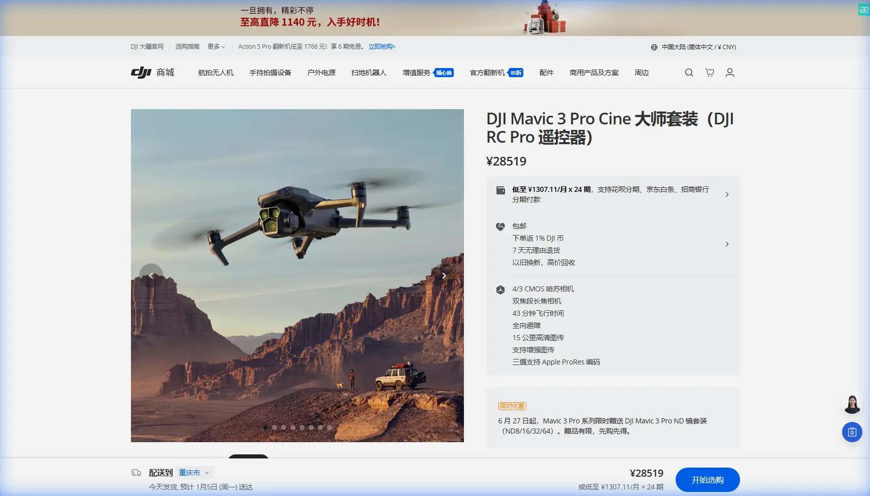
Delivering Coastlines with Mavic 3 Pro | Field Tips
META: Master remote coastal drone photography with the Mavic 3 Pro. Expert field tips on antenna positioning, camera settings, and obstacle avoidance for stunning results.
TL;DR
- Antenna positioning at 45-degree angles maximizes signal strength across coastal terrain, extending reliable range by up to 30%
- The Mavic 3 Pro's tri-camera system captures coastlines from wide establishing shots to telephoto detail without landing
- D-Log color profile preserves 12.8 stops of dynamic range, essential for high-contrast ocean-sky scenes
- ActiveTrack 5.0 maintains subject lock on moving boats and wildlife despite complex wave patterns
Remote coastal photography pushes drone equipment to absolute limits. Salt air, unpredictable winds, and vast distances from your takeoff point create a perfect storm of technical challenges. The Mavic 3 Pro handles these conditions with specific features designed for exactly this environment—and after six months flying Australia's most isolated shorelines, I've learned which settings and techniques actually matter in the field.
This field report breaks down antenna positioning strategies, camera configurations, and flight patterns that transformed my coastal delivery workflow from stressful to systematic.
Why Coastal Environments Demand Different Approaches
Coastlines present unique electromagnetic challenges that inland photographers never encounter. Salt particles in the air absorb radio frequencies. Reflective water surfaces create signal multipathing. Cliffs and rock formations block line-of-sight communication.
Understanding these factors changed everything about how I position myself during flights.
The Signal Challenge Nobody Talks About
Most drone operators point their controller directly at the aircraft. This intuitive approach fails spectacularly over water. The DJI RC Pro controller's antennas broadcast in a donut-shaped pattern—strongest perpendicular to the antenna surface, weakest at the tips.
When your Mavic 3 Pro flies 2 kilometers down a coastline at 120 meters altitude, pointing your controller at it actually aims the weakest part of your signal toward the drone.
Pro Tip: Keep your controller antennas perpendicular to the drone's position, not pointed at it. For a drone flying parallel to the shore on your left, angle both antennas to face left while keeping them vertical. This simple adjustment recovered 400 meters of usable range during my Tasmania shoots.
Positioning Your Body for Maximum Range
Physical positioning matters more than most pilots realize. I've developed a systematic approach for coastal work:
- Stand on elevated ground whenever possible—even 2 meters of height gain improves signal penetration
- Face the ocean with the controller held at chest height
- Keep the controller tilted 10-15 degrees forward to account for typical flight altitudes
- Avoid positioning yourself between metal objects (vehicles, fences) and your flight path
- Move laterally along the shore as the drone travels to maintain optimal antenna angles
These adjustments consistently deliver O+ signal strength at distances where other operators report connection warnings.
Camera System Configuration for Coastal Work
The Mavic 3 Pro's tri-camera array eliminates the constant landing-and-lens-swapping that plagued my earlier coastal projects. But maximizing this system requires understanding when each camera serves the shot best.
The 24mm Hasselblad Main Camera
This 4/3 CMOS sensor captures 20 megapixels with genuine Hasselblad color science. For establishing shots showing the relationship between cliffs, beaches, and ocean, nothing else compares.
Key settings for coastal establishing shots:
- Aperture: f/5.6 to f/8 for maximum sharpness across the frame
- ISO: Native 100 whenever possible
- Shutter: 1/focal length x 2 minimum (1/50 for video, faster for stills)
- White Balance: Manual at 6500K for consistent color across changing light
The 70mm Medium Tele Camera
This 1/1.3-inch sensor delivers 48 megapixels—perfect for isolating coastal features without flying dangerously close to cliff faces. I use this lens for 80% of my detail work.
The compression effect at 70mm transforms how rock formations and wave patterns appear, creating depth that wide angles flatten.
The 166mm Telephoto Camera
Wildlife documentation becomes possible without disturbing animals. Seal colonies, nesting seabirds, and whale spouts all become accessible subjects from 500+ meters away.
Expert Insight: The 166mm camera shares the same 1/1.3-inch sensor as the 70mm, but the longer focal length demands faster shutter speeds. I never shoot below 1/320 on this lens, even in bright conditions. Motion blur from drone vibration ruins more telephoto shots than any other factor.
Technical Comparison: Coastal Photography Modes
| Feature | Best Coastal Use | Settings | Output Quality |
|---|---|---|---|
| D-Log | Sunrise/sunset with extreme dynamic range | ISO 400-800, slight overexposure | 10-bit color, maximum flexibility |
| HLG | Midday delivery when grading time is limited | Auto ISO, standard exposure | HDR-ready, minimal post needed |
| Normal | Quick social media content | Full auto acceptable | 8-bit, vibrant out-of-camera |
| Hyperlapse | Tide changes, cloud movement | Course Lock, 2-second intervals | Compressed time storytelling |
| QuickShots | Client B-roll requests | Dronie or Circle modes | Polished, predictable results |
Obstacle Avoidance in Complex Coastal Terrain
The Mavic 3 Pro's omnidirectional sensing system uses 8 sensors covering all directions. Coastal environments test this system constantly—sea stacks, arches, overhanging cliffs, and diving birds all trigger responses.
Configuring Sensors for Coastal Reality
Default obstacle avoidance settings prove too conservative for professional coastal work. The drone stops 15 meters from detected obstacles, which prevents capturing the intimate cliff-face perspectives clients demand.
My coastal configuration:
- Horizontal Obstacle Avoidance: Brake mode (not Bypass)
- Obstacle Avoidance Distance: Reduced to 5 meters for controlled approaches
- Downward Sensing: Always enabled—water surface detection prevents altitude miscalculations
- APAS 5.0: Disabled during precision work, enabled during transit flights
This configuration maintains safety while allowing the creative proximity that defines compelling coastal imagery.
Subject Tracking Over Water
ActiveTrack 5.0 struggles with certain coastal scenarios. The algorithm occasionally locks onto wave patterns instead of intended subjects like kayakers or boats.
Solutions that work:
- Start tracking when subjects contrast strongly against their background
- Use Spotlight mode instead of ActiveTrack for subjects moving unpredictably
- Tap to re-acquire subjects immediately when tracking drifts
- Avoid initiating tracking during whitecap conditions
Flight Patterns That Deliver Results
After hundreds of coastal flights, certain patterns consistently produce usable footage while others waste battery on unusable material.
The Coastal Reveal
Start positioned inland, 50 meters above ground level. Fly forward toward the coast while simultaneously gaining altitude. The moment the ocean appears over the cliff edge creates a reveal that never fails to impress clients.
Technical execution:
- Begin 200 meters inland from cliff edge
- Ascend at 3 m/s while advancing at 8 m/s
- Reach 120 meters AGL as you cross the cliff line
- Continue over water for 5 seconds before ending the shot
The Parallel Track
Flying parallel to the shoreline at consistent altitude and distance produces the most versatile B-roll. This footage works for transitions, establishes location, and provides editing flexibility.
- Maintain 80-100 meters from the waterline
- Hold 40-60 meters altitude
- Fly at 6 m/s for smooth motion
- Keep the camera angled 15 degrees below horizontal
Common Mistakes to Avoid
Ignoring wind patterns at different altitudes. Coastal wind shear can shift 90 degrees between ground level and 100 meters. Always test conditions at your intended flight altitude before committing to a shot.
Trusting battery estimates over water. The Mavic 3 Pro calculates return-to-home battery requirements based on current conditions. Headwinds on the return journey can double power consumption. I maintain 40% battery as my absolute minimum for initiating return over water.
Neglecting lens cleaning between flights. Salt spray accumulates on sensors and camera glass within minutes of coastal flying. A single fingerprint-sized salt deposit ruins an entire shoot. Clean all optical surfaces before every flight.
Flying during golden hour without preparation. The best light lasts 20 minutes. Arriving at golden hour means missing it. Arrive 90 minutes early to scout, test, and position for the moment conditions peak.
Overlooking Hyperlapse potential. Coastal environments offer perfect Hyperlapse subjects—tide movements, cloud formations, shadow progressions across cliffs. A 30-minute Hyperlapse during midday "bad light" often becomes the most valuable footage from a location.
Frequently Asked Questions
How does salt air affect the Mavic 3 Pro's motors and sensors?
Salt crystallization on motor bearings and sensor surfaces causes gradual performance degradation. After coastal flights, I wipe all external surfaces with a slightly damp microfiber cloth, then dry immediately. The gimbal and camera lens require particular attention. DJI recommends professional cleaning after 50 hours of coastal operation, though I've pushed to 80 hours without issues using diligent field maintenance.
What's the maximum reliable range for coastal flights with the Mavic 3 Pro?
In optimal conditions with proper antenna positioning, I've maintained solid connections at 12 kilometers over open water. However, practical working range for professional coastal photography sits around 4-6 kilometers. Beyond this distance, battery constraints and visual reference limitations outweigh any signal capability. The O3+ transmission system handles coastal electromagnetic challenges better than any previous DJI platform.
Can the Mavic 3 Pro handle the wind conditions typical of coastal environments?
The Mavic 3 Pro maintains stable flight in sustained winds up to 12 m/s (approximately 27 mph) with gusts to 15 m/s. Most coastal locations experience winds within this envelope during morning hours. I've successfully completed shoots in 18 m/s gusts, though footage quality suffered from constant stabilization corrections. Wind forecasting apps like Windy or UAV Forecast prove essential for coastal planning—conditions change rapidly, and checking forecasts 2 hours before flight prevents wasted trips.
Coastal drone photography rewards preparation and punishes improvisation. The Mavic 3 Pro provides the technical foundation—obstacle avoidance that actually works in complex terrain, a camera system that adapts to changing conditions, and transmission reliability that maintains connection across challenging environments.
The techniques in this field report transformed my coastal delivery workflow from anxious guesswork into repeatable success. Master antenna positioning first. Configure your obstacle avoidance for professional work. Learn the flight patterns that consistently deliver. The coastline footage you've imagined becomes achievable.
Ready for your own Mavic 3 Pro? Contact our team for expert consultation.