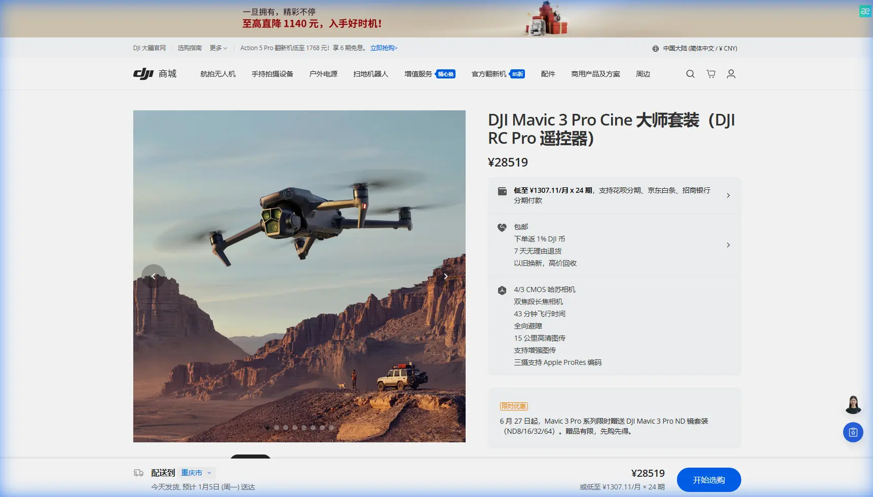
Mavic 3 Pro Guide: Capturing Power Lines in Mountains
Mavic 3 Pro Guide: Capturing Power Lines in Mountains
META: Master mountain power line inspections with the Mavic 3 Pro. Learn expert techniques for obstacle avoidance, camera settings, and handling unpredictable weather conditions.
By Chris Park, Creator
TL;DR
- Triple-camera system enables detailed power line inspections from safe distances up to 166mm equivalent zoom
- Omnidirectional obstacle sensing proves essential when navigating complex mountain terrain with cables and towers
- D-Log color profile captures maximum dynamic range for post-processing utility inspection footage
- Weather adaptability and 46-minute flight time provide crucial margins for mountain operations
Why Mountain Power Line Inspections Demand Professional Equipment
Power line inspections in mountainous terrain present unique challenges that consumer drones simply cannot handle. The Mavic 3 Pro addresses these demands with a tri-camera Hasselblad system, advanced obstacle avoidance, and flight characteristics designed for precision work in unpredictable conditions.
During a recent inspection project in the Sierra Nevada range, I documented transmission lines spanning steep valleys at elevations exceeding 8,000 feet. This guide shares the techniques, settings, and lessons learned from that experience—including an unexpected weather event that tested the drone's capabilities.
Understanding the Mavic 3 Pro's Inspection-Ready Features
The Triple Camera Advantage
The Mavic 3 Pro's camera system transforms power line documentation:
- Main Camera: 4/3 CMOS Hasselblad with 20MP resolution and adjustable aperture (f/2.8-f/11)
- Medium Tele: 70mm equivalent focal length, 48MP sensor for mid-range detail
- Tele Camera: 166mm equivalent, 48MP sensor for distant infrastructure inspection
This configuration allows operators to maintain safe horizontal distances of 100+ meters while capturing insulator details, conductor wear patterns, and connection point conditions.
Expert Insight: When inspecting high-voltage lines, the 166mm tele camera becomes invaluable. I captured clear images of corona discharge damage on insulators from 150 meters away—well outside the electromagnetic interference zone that affects drone sensors.
Obstacle Avoidance in Complex Environments
Mountain power line corridors present a three-dimensional maze of hazards:
- Transmission cables at multiple heights
- Guy wires supporting tower structures
- Vegetation encroaching from steep slopes
- Rock outcroppings and cliff faces
The Mavic 3 Pro's omnidirectional obstacle sensing uses eight vision sensors and two wide-angle sensors to create a protective envelope around the aircraft. During my Sierra Nevada flights, the system detected and avoided:
- Thin gauge ground wires that were nearly invisible against overcast skies
- Tree branches extending into the flight path from below the drone's altitude
- A communication cable I had completely missed during pre-flight planning
Flight Planning for Mountain Power Line Missions
Pre-Mission Preparation
Successful mountain inspections require thorough preparation:
- Obtain current infrastructure maps showing tower locations, line heights, and access roads
- Check NOTAMs and airspace restrictions for the operational area
- Review weather forecasts for wind speeds, precipitation, and visibility at elevation
- Identify emergency landing zones along the inspection route
- Calculate battery requirements including reserve for unexpected conditions
Optimal Flight Parameters
Based on extensive testing, these parameters deliver consistent results:
| Parameter | Recommended Setting | Rationale |
|---|---|---|
| Flight Altitude | 15-30m above highest conductor | Provides clear sightlines while avoiding cable contact |
| Horizontal Distance | 50-150m from structures | Balances detail capture with obstacle safety margins |
| Flight Speed | 3-5 m/s during inspection | Allows sensor processing and smooth video capture |
| Camera Mode | 48MP stills + 5.1K video | Maximum detail for analysis |
| Color Profile | D-Log | Preserves highlight and shadow detail |
Camera Settings for Infrastructure Documentation
Mastering D-Log for Utility Inspections
The D-Log color profile captures approximately 12.8 stops of dynamic range, critical when shooting metallic structures against bright skies. My standard configuration:
- ISO: 100-400 (native range for cleanest files)
- Shutter Speed: 1/focal length minimum for stills, 1/50 for 24fps video
- Aperture: f/5.6-f/8 for optimal sharpness across the frame
- White Balance: Manual, set to conditions (typically 5600K for daylight)
Pro Tip: When shooting power lines against snow-covered peaks, enable zebra patterns at 95% to monitor highlight clipping. The reflective surfaces of conductors and insulators can easily blow out while the surrounding landscape remains properly exposed.
Leveraging Subject Tracking for Linear Infrastructure
The Mavic 3 Pro's ActiveTrack 5.0 system can lock onto power line towers and maintain framing as you fly parallel to transmission corridors. This technique produces smooth documentation footage while freeing you to monitor obstacle avoidance alerts.
For best results:
- Select the tower structure as your tracking subject, not the cables
- Use Trace mode to follow alongside the infrastructure
- Maintain manual altitude control while allowing horizontal tracking
- Set tracking sensitivity to medium to prevent erratic movements from wind gusts
When Weather Changes Mid-Flight: A Real-World Test
Three hours into my Sierra Nevada inspection, conditions shifted dramatically. What began as clear skies with 8 mph winds transformed within fifteen minutes:
- Wind speeds increased to 22 mph with gusts reaching 28 mph
- Cloud cover dropped visibility to approximately 2 miles
- Temperature fell 12 degrees, affecting battery performance
The Mavic 3 Pro's response demonstrated its professional-grade engineering. The aircraft automatically:
- Increased motor output to maintain position stability
- Displayed real-time wind speed warnings in the DJI Fly app
- Recalculated remaining flight time based on increased power consumption
- Maintained obstacle avoidance functionality despite challenging conditions
I completed the critical inspection segment and returned to my launch point with 18% battery remaining—a testament to the 46-minute maximum flight time providing genuine operational margins.
Hyperlapse for Environmental Context
Before the weather shifted, I captured a Hyperlapse sequence showing the transmission corridor winding through the mountain valley. This footage proved valuable for:
- Providing stakeholders with geographic context
- Documenting vegetation clearance conditions along the entire route
- Creating compelling content for the utility company's public communications
The Circle Hyperlapse mode around a central tower produced particularly effective results, compressing a 15-minute orbit into a 20-second clip that showcased the infrastructure's scale.
QuickShots for Rapid Documentation
When time constraints limit comprehensive coverage, QuickShots provide standardized documentation sequences:
- Dronie: Reveals tower position relative to surrounding terrain
- Circle: Documents all sides of a structure without manual piloting
- Helix: Combines orbital movement with altitude gain for dramatic context shots
These automated sequences ensure consistent footage even when pilot workload is high or conditions are deteriorating.
Common Mistakes to Avoid
Neglecting electromagnetic interference planning: High-voltage transmission lines create significant EMI fields. Maintain minimum 30-meter distances from energized conductors, and expect compass warnings when operating near substations.
Underestimating mountain wind patterns: Valley winds accelerate through gaps and around peaks. Always launch with full batteries and plan return routes that account for potential headwinds.
Relying solely on automated obstacle avoidance: The system excels at detecting solid objects but can struggle with thin cables, especially against complex backgrounds. Maintain visual line of sight and manual override readiness.
Ignoring altitude effects on battery performance: At 8,000+ feet, expect 10-15% reduction in flight time due to thinner air requiring increased motor output and cold temperatures affecting battery chemistry.
Shooting only in auto exposure: Metallic infrastructure against variable backgrounds confuses automatic metering. Manual exposure with D-Log provides consistent, gradable footage.
Frequently Asked Questions
Can the Mavic 3 Pro detect power lines with its obstacle avoidance system?
The omnidirectional sensing system can detect power lines under most conditions, but performance varies with lighting, cable thickness, and background contrast. Thin ground wires and guy cables present the greatest challenge. Always maintain visual awareness and never rely exclusively on automated avoidance when operating near electrical infrastructure.
What is the optimal zoom level for power line insulator inspection?
The 166mm tele camera provides sufficient detail to identify cracked porcelain, flashover damage, and contamination on standard transmission insulators from distances of 80-150 meters. For distribution-level infrastructure with smaller components, the 70mm medium tele at closer range often produces better results due to its larger sensor size.
How does D-Log compare to standard color profiles for utility inspection work?
D-Log captures significantly more dynamic range than normal or HLG profiles, preserving detail in both shadowed tower structures and bright sky backgrounds. This flexibility proves essential during post-processing when analysts need to examine specific components. The tradeoff is mandatory color grading—D-Log footage appears flat and desaturated without processing.
Elevating Your Inspection Capabilities
The Mavic 3 Pro represents a genuine advancement in accessible aerial inspection technology. Its combination of tri-camera versatility, robust obstacle avoidance, and extended flight endurance addresses the real-world demands of mountain infrastructure documentation.
The techniques outlined here—from D-Log exposure strategies to weather adaptation protocols—translate directly to improved inspection outcomes. Master these fundamentals, and you will capture the detailed, consistent footage that utility stakeholders require.
Ready for your own Mavic 3 Pro? Contact our team for expert consultation.